Donald did a day ride to the North Rim while I hiked in Kaibab National Forest.
Back on the road tomorrow!
Donald did a day ride to the North Rim while I hiked in Kaibab National Forest.
Back on the road tomorrow!
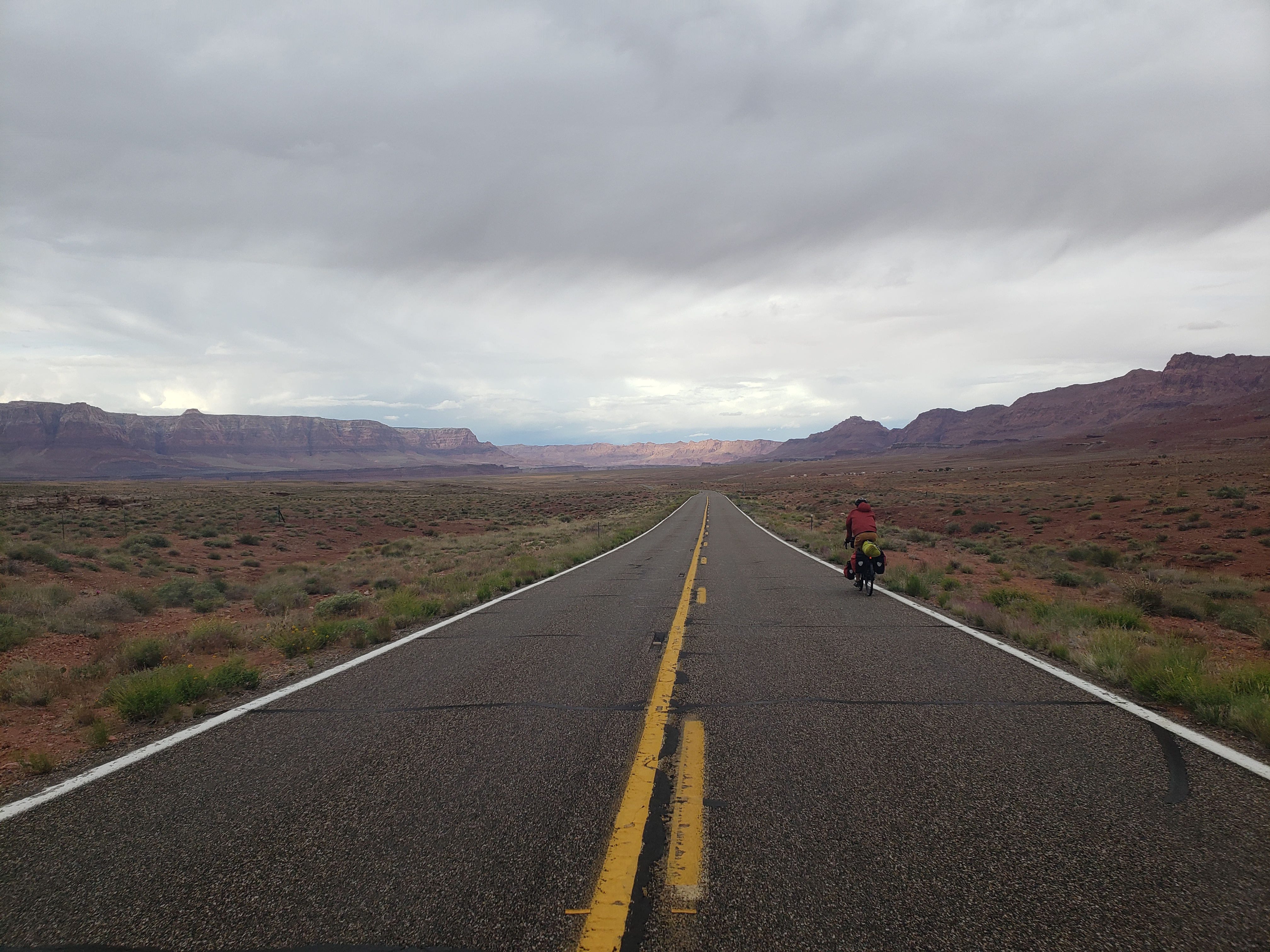
The storms of yesterday had passed, leaving a hot, sunny day. We started off a couple hundred feet from the Colorado river – at 3500ft elevation and were headed to Jacob Lake – a a town near the North Rim of the Grand Canyon at 7900ft. The two are only forty miles apart so despite the elevation gain the day was to be on the shorter side.
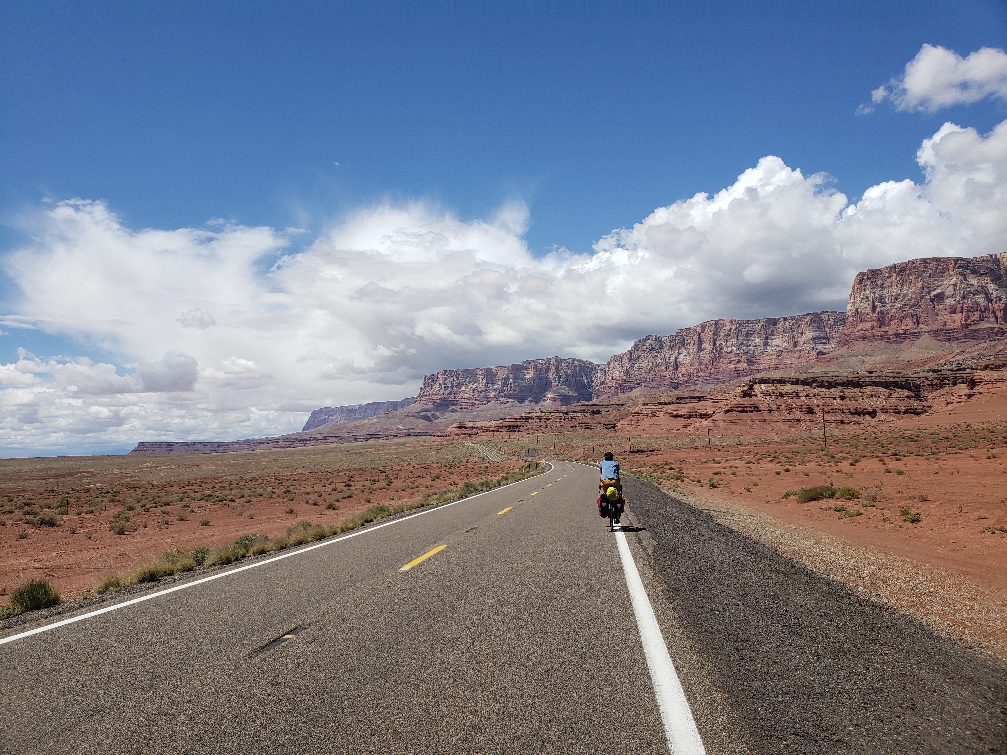
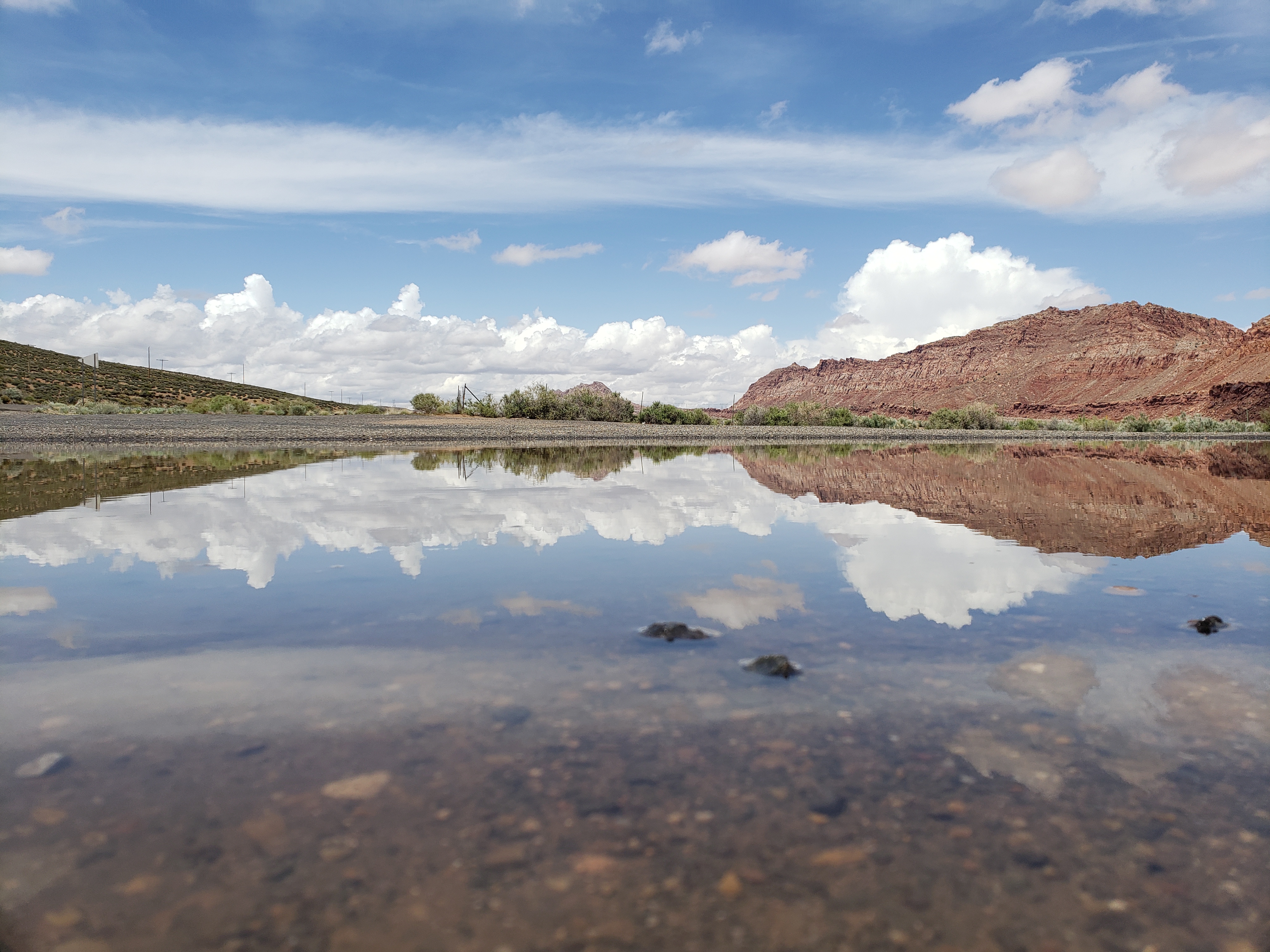
The magnificent cliffs of Vermilion National Monument accompanied us for the first twenty miles of the day, as if providing a physical barrier between us and Utah to the north. Soon, we could see the plateau holding the North Rim in the distance, with patches of snow still visible on the northern sides of some hills. The wind played nice and with the gentle grade we made good time to the base of the plateau. Here, the red cliffs abruptly stopped and green rounded hills began as we entered Kaibab National Forest and the steepness of the road increased significantly.
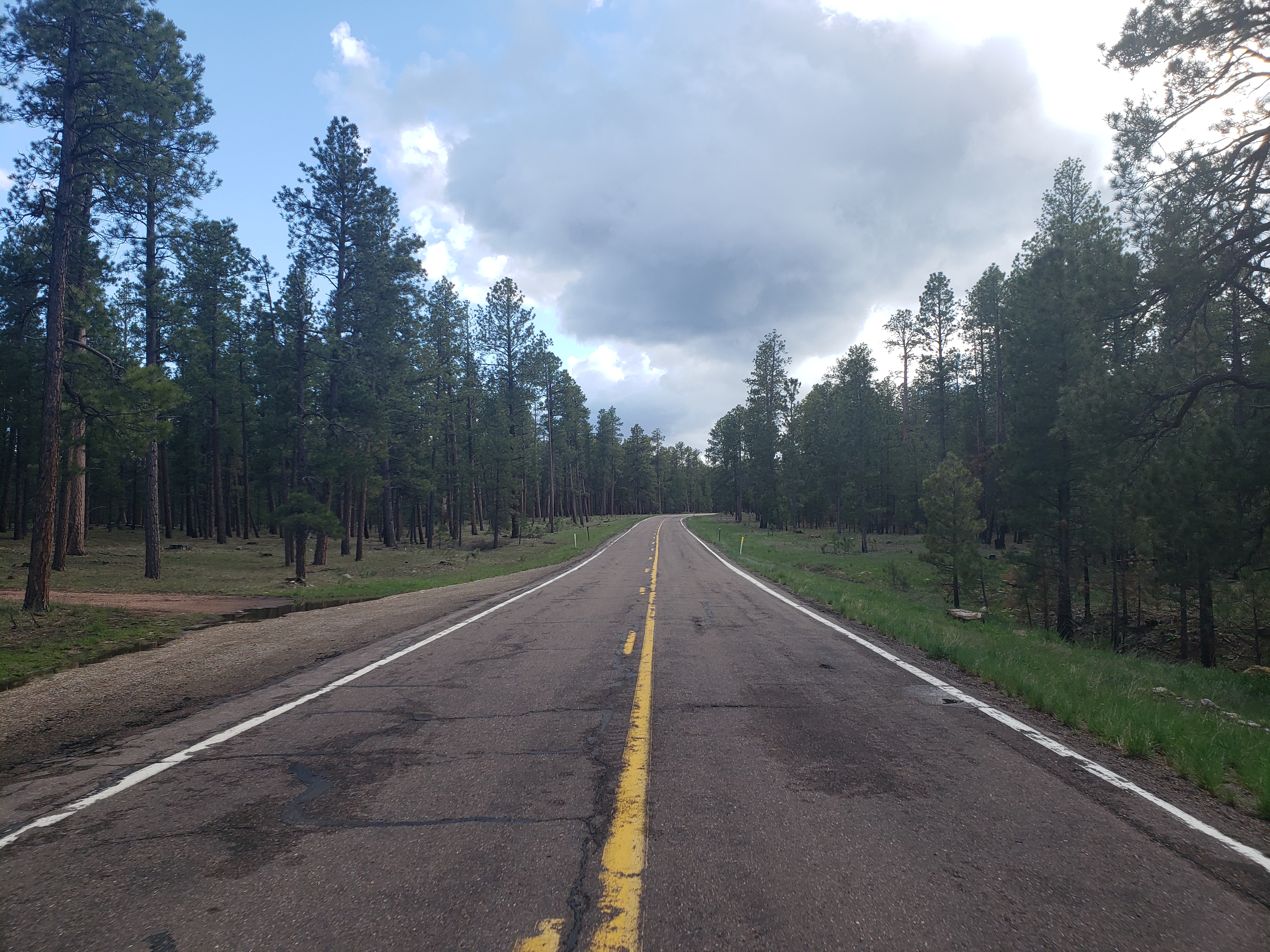
The road wound up and up through the mountains as the desert turned back into dense pine forest and the temperature dropped. A heavy storm had swept by these mountains earlier and we were lucky to have missed it.
A couple more hours of hard work put us in the small town of Jacob Lake at the high point of the highway. A bit of a short day but our legs definitely feel the effects of all the climbing.
Notes from Donald: “I think all the different changes in terrain we got were cool.”
Today’s mileage: 41 miles
Total: 692 miles
It was a chilly morning but at least the rainstorm had passed. After a prolonged breakfast we hit the road, hopeful that the day off had lent some rest to our tired muscles.
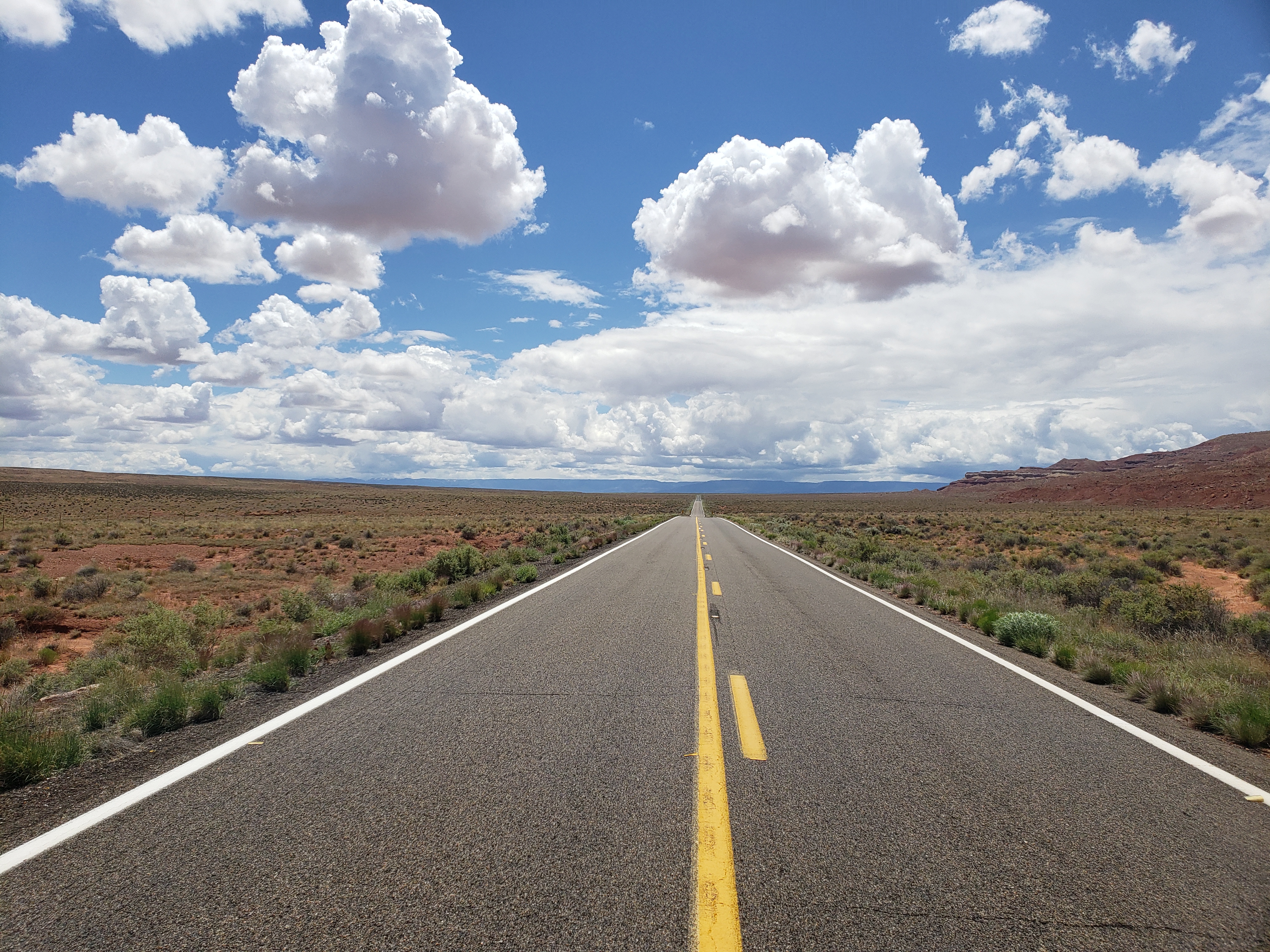
Leaving town we crossed the Little Colorado River for the sixth and final time. We’ve been following the river for two hundred fifty miles, first crossing it near Springerville where it was no more than a sandy channel devoid of water. We first saw water in the river near Holbrook, and it was larger still in Winslow. Now, in Cameron it sits at the bottom of a canyon two hundred feet deep and a quarter mile across. We won’t be seeing it again though – it joins with the Colorado River a little upstream from the Grand Canyon – so we bid it farewell for the last time and continued north.
There’s something magical about the geometry of road trips. Two lines on a plane, unless perfectly parallel, will always cross at exactly one point. Bicycle touring routes are far from perfect geometric lines that extend infinitely, and as we know too well America is far from a perfect plane. But two non-parallel cross-country bike routes will inevitably intersect and today was the day of intersection with my trip nine years ago. I rode the ten mile stretch on US 89 between Tuba City and Cameron in 2010, pushing south through heavy headwinds on my way to the South Rim of the Grand Canyon. Today we had a much more leisurely ride heading north on the same stretch of road. I was a little disappointed not to remember much of this little stretch of road, but time will do that.
The day was again to be simple – follow the road north with two thousand feet of gentle climbing in the first third of the day followed by three thousand feet of descent to Marble Canyon on the Colorado River. After a quick lunch at a gas station we continued our way towards the high point of the day at six thousand feet. It started raining just enough to warrant rain jackets so we pulled over, suited up, and continued on our way, hoping to outrun the incoming rain. For a brief few minutes we thought we were free for the day, before the storm returned in full force.
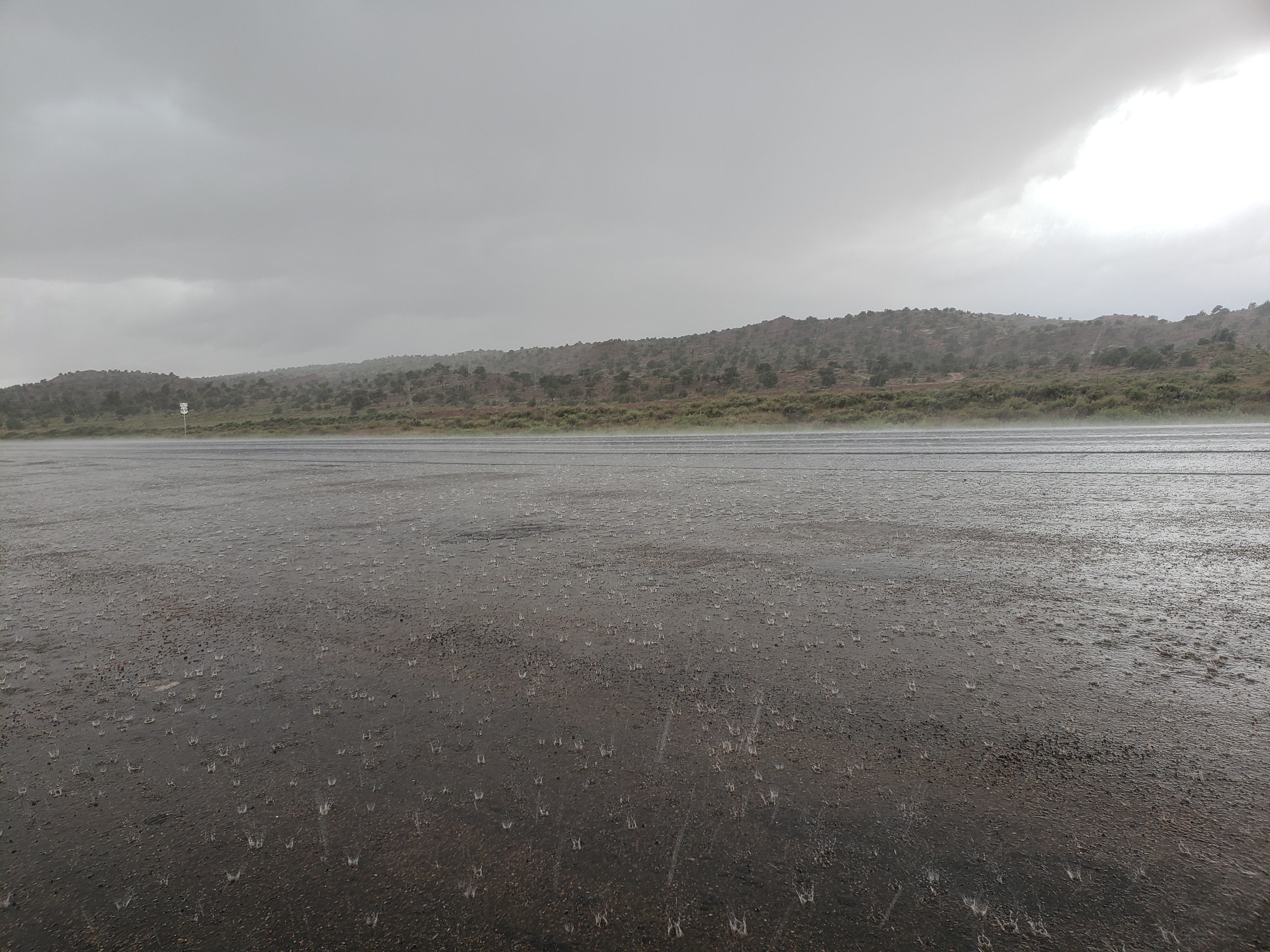
The clouds opened up a deluge of rain upon us as we crossed the pass, and it was soon followed by painful hail. We spotted a shack on the side of the road that once was used for peddling Native American pottery and took shelter underneath its tin roof. Soon the pullout in front of the shack was filled with cars and RVs that dared not brave driving in this downpour as lightning lit the sky all around us.
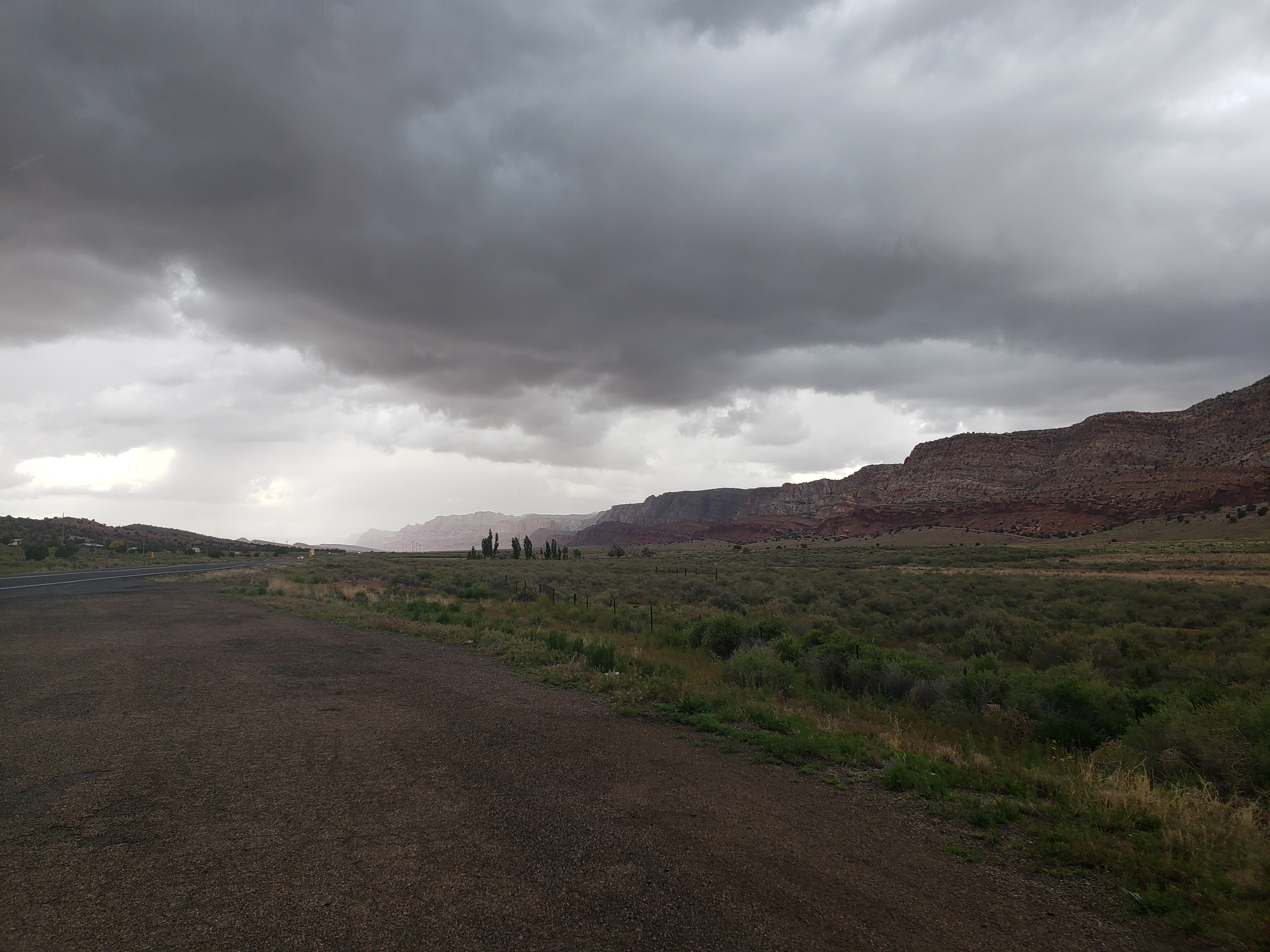
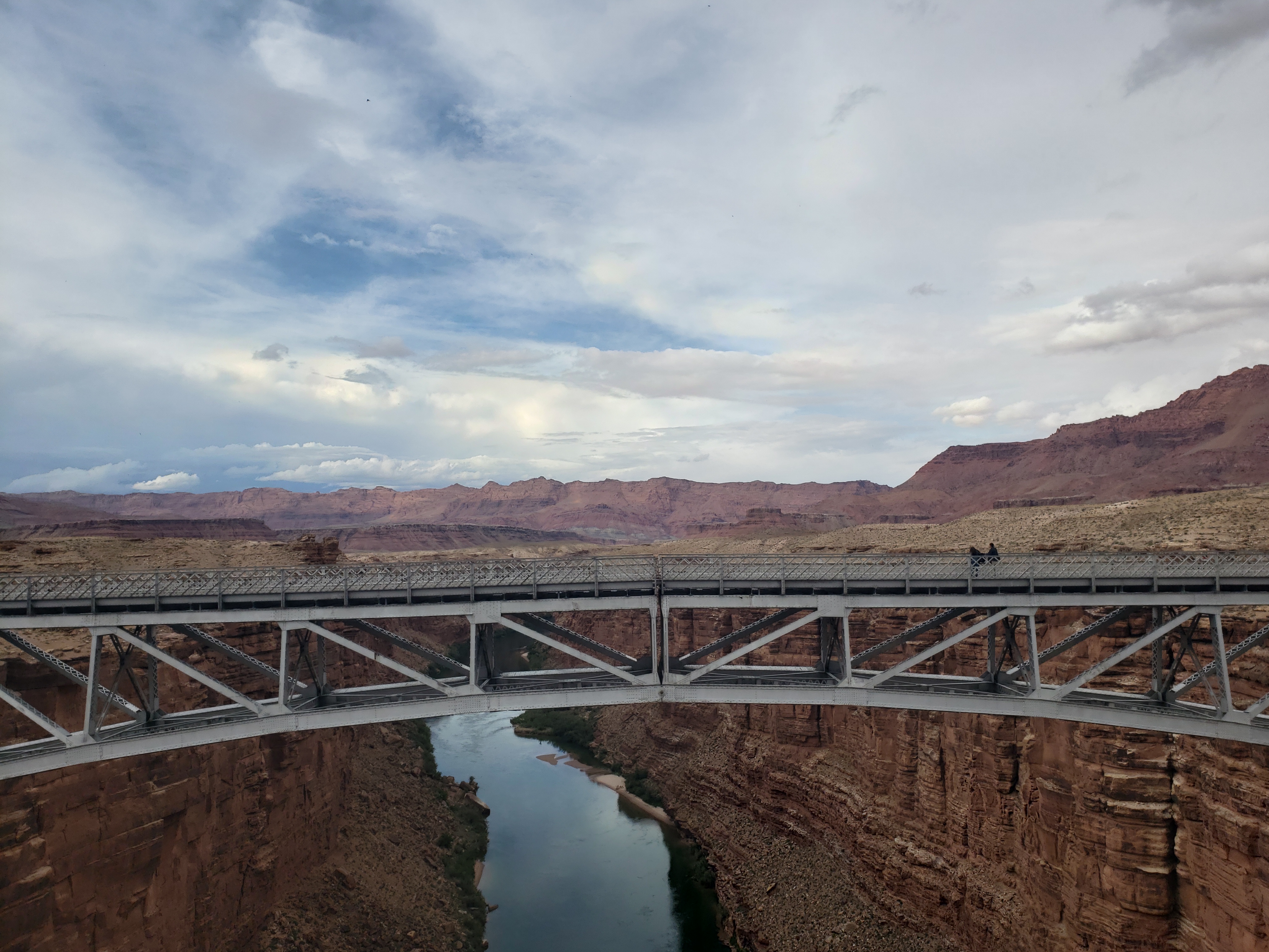
To the south, where we had come from, the sky was filled with dark clouds and rain as far as the eye could see. To the north were fluffy clouds and blue sky – we were right on the edge of the storm. After twenty minutes or thirty of waiting, the rain finally began to lighten up and we escaped the storm. The final thirty miles were much easier as we had gotten most of the climbing out of the way in the morning. We crossed the Colorado River and found a room in the lodge at Marble Canyon right as another rain storm approached.
Notes from Donald: “I’m really glad we came across one of those abandoned vendor structures to take shelter from the hail just in time.”
Today’s Mileage: 72 miles
Total: 650 miles
We awoke this morning to a heavy rain storm and decided to stay in Cameron for the day.
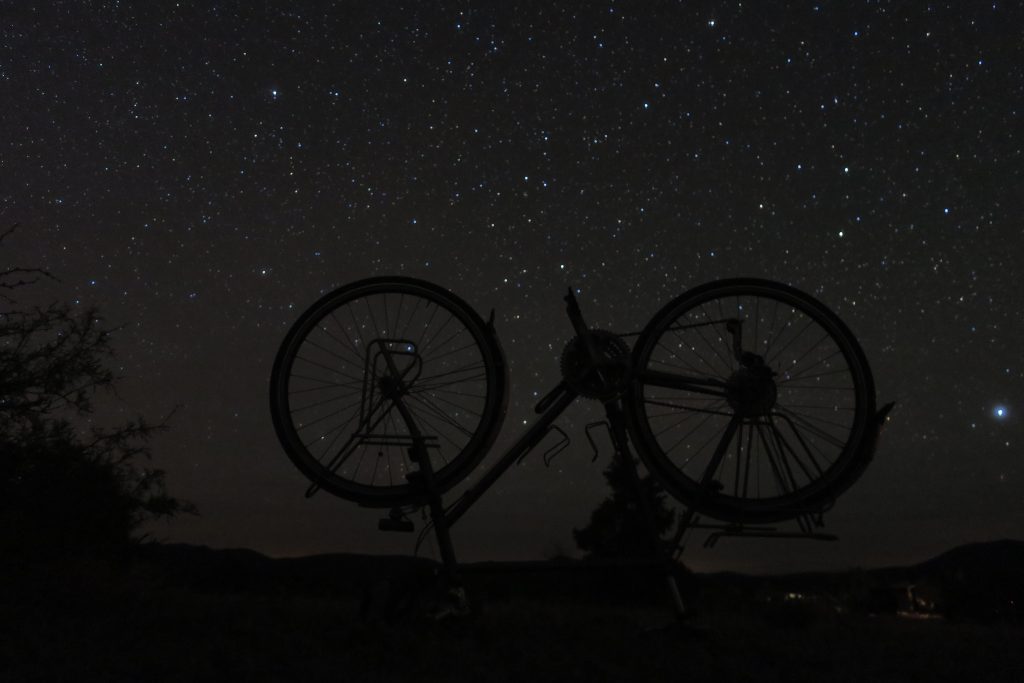
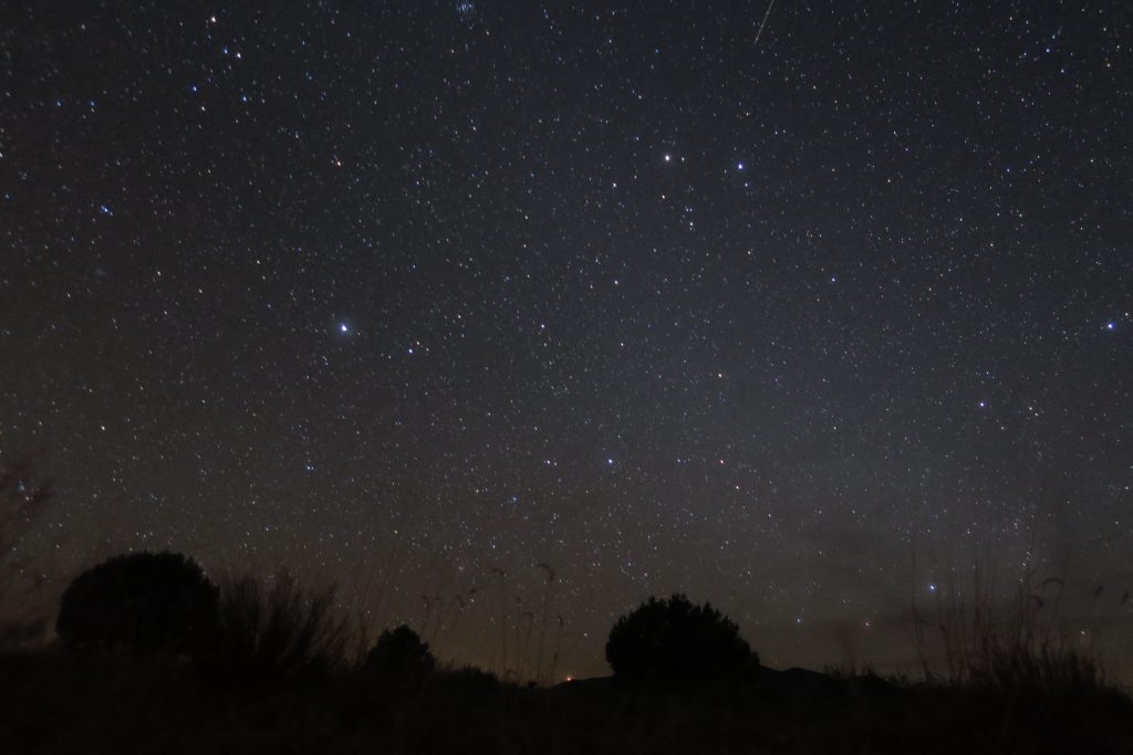
A couple photos from the Cosmic Campground last week:
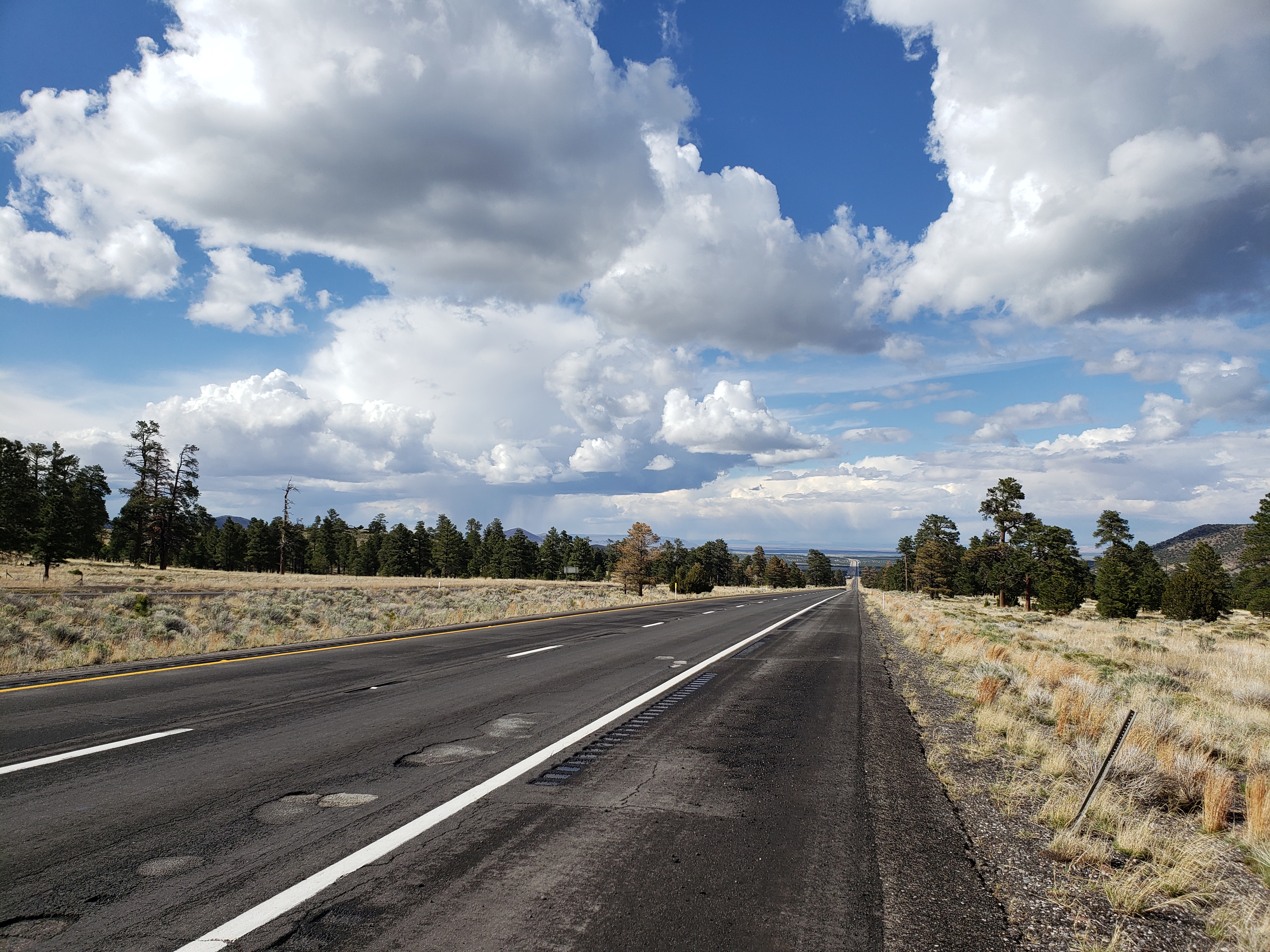
It was to be a simple day. 8 miles of interstate, 15 more miles uphill, then 40 glorious miles of downhill into Cameron. But things never go as planned.
A fierce storm rolled past our hotel in the morning so we waited it out and got on the road a little later than normal. The final miles on the interstate were just like the previous 70 miles: okay.
Besides what I mentioned yesterday, another downside of riding on the interstate is the lack of a visible anthropo-geologic history of the roadway. When riding on old rural roads, the whole history of the road reveals itself to you in the strata of surfaces on the shoulder. Often the shoulder was paved many decades ago at a wide roadway width, and successive pavings are narrower and narrower. “Oh, this must be from the great chipseal event of ’82.” All sorts of questions arise here. Was it the original intention to repave the whole shoulder? Perhaps the surveyed width was incorrect, or the budget was tight so they didn’t plan to repave the shoulder at all.
Bicycle touring makes one an armchair expert on road surfaces, and these thoughts can occupy your mind during the long days. Except on the interstate. The interstate is too efficient to reveal the history of its paving – the full width of the shoulder is always consistent. So I was happy to be off the interstate to resume my studies.
After a quick lunch we got back on the road and headed upwards towards a pass that would mark the turning point for the day. Before long a cold rain started pouring down and hail followed soon after. We stopped on the side of the road to wait out the storm and resumed our climb once it had passed. It was cold now and we had jackets on to keep warm as we reached the pass at 7200 feet.
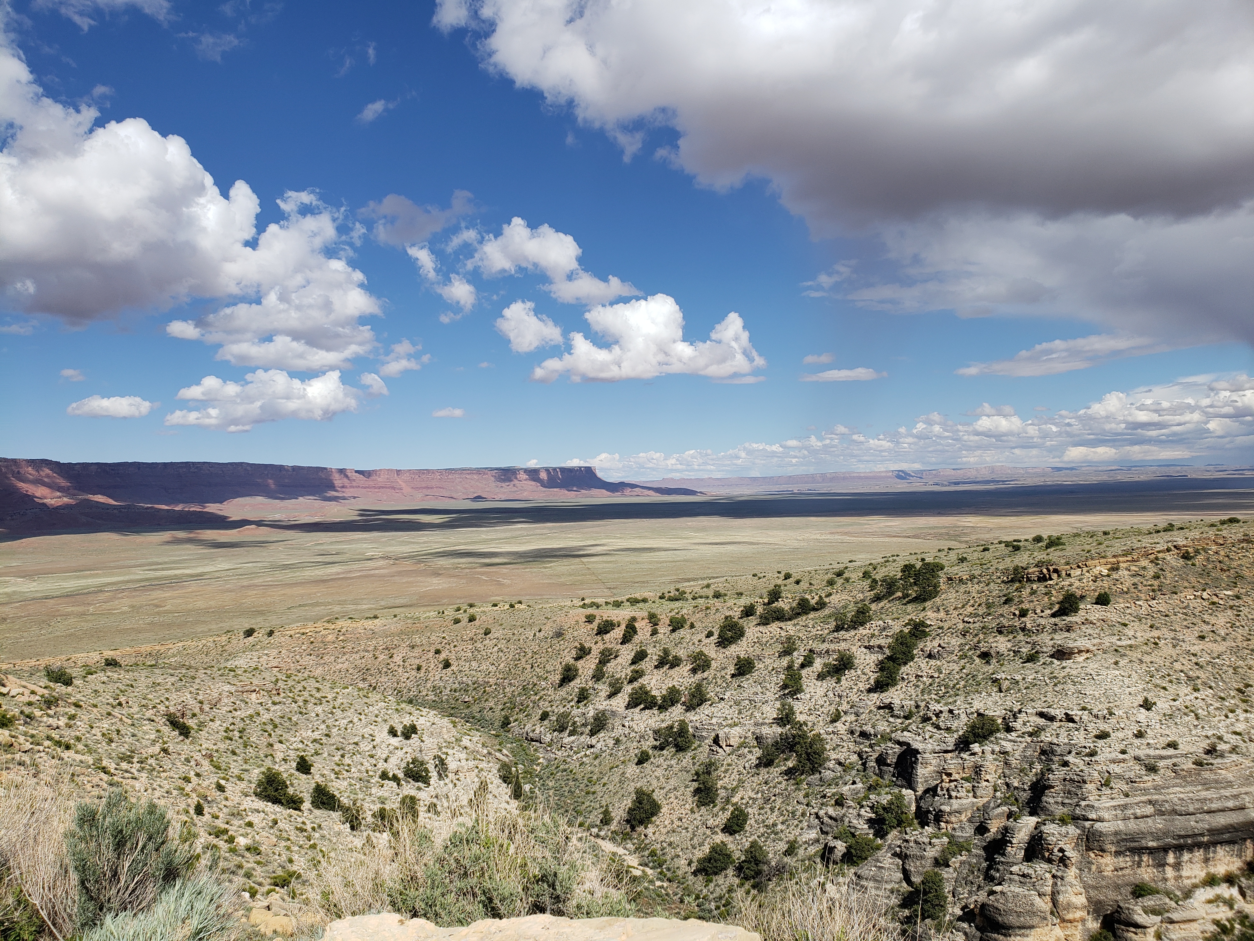
Below us, the grand Northern Arizona landscape revealed itself. To the west was the high plateau holding the south rim of the Grand Canyon, with sharp cliffs dropping off its east side. To the east shorter cliffs and mesas lined the horizon, and our road led us straight between the two, seemingly endlessly into the desert.
The wind was strong and after an initial steep descent it became clear that, although we had 3300 feet of downhill ahead of us, we were caught in the midst of an age-old war. On one side was gravity, the omnipresent force pulling together everything in the universe. And on the other side was a sustained 20mph headwind. In this battle, the wind came out as the clear winner. What could have been an easy two hour descent wound up taking more than four hours as we pushed into the wind.
Pedaling downhill, we crossed into the Navajo Nation and finally arrived at the tiny town of Cameron in time for dinner.
Notes from Donald: “Today we were less successful in dodging the rain and got a bit wet and also pepper with some small hailstones. I was looking forward to the big downhill away from Flagstaff but the wind really screwed that one up. The wind let up when we got to the Navajo Nation and I became much happier!”
Today’s mileage: 64 miles
Total: 578 miles
