Day 18: Bryce Canyon National Park, UT – Escalante, UT

It was very cold over night, first with rain, then with temperatures dipping below freezing. We awoke in the morning to wet tents and ice on our bikes and gear, but at least the rain had stopped. We suited up in our warm clothes and waited for our gear to dry and for the temperatures to rise before hitting the road.

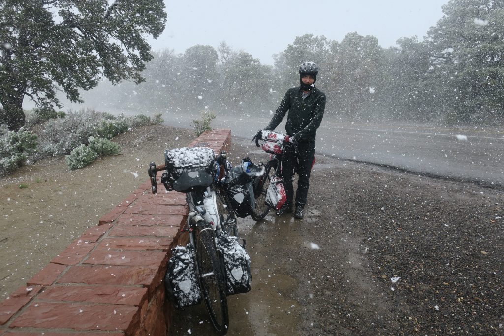
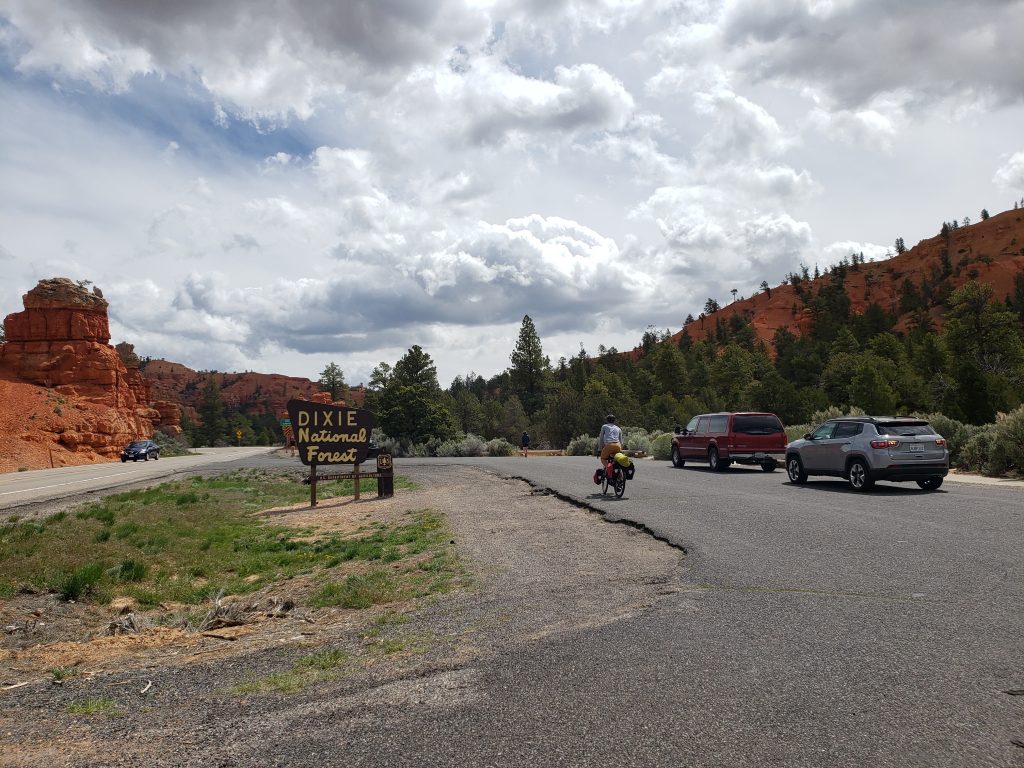
On our way out of the park it began snowing – a mix of snow and hail called graupel that we also encountered a few times in Canada six years ago. The precipitation came and went and we were satisfied to have seen snowfall this trip.

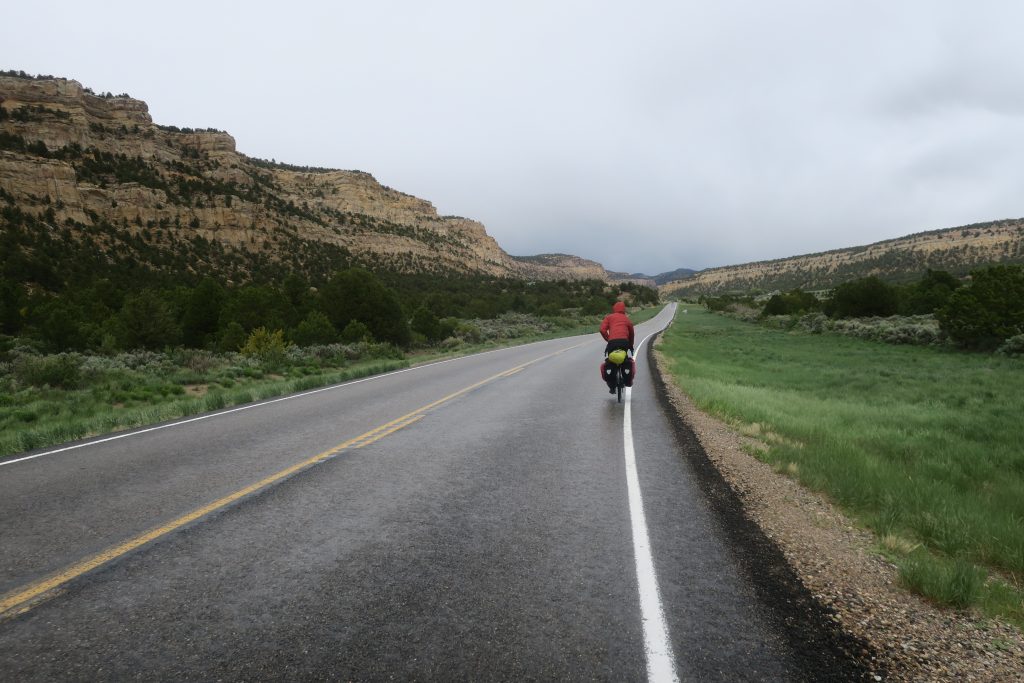
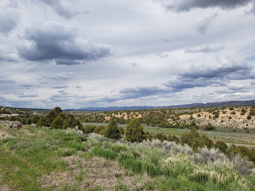
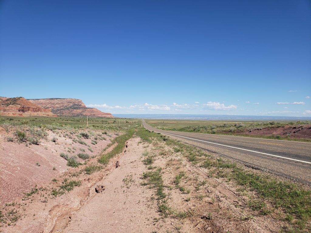
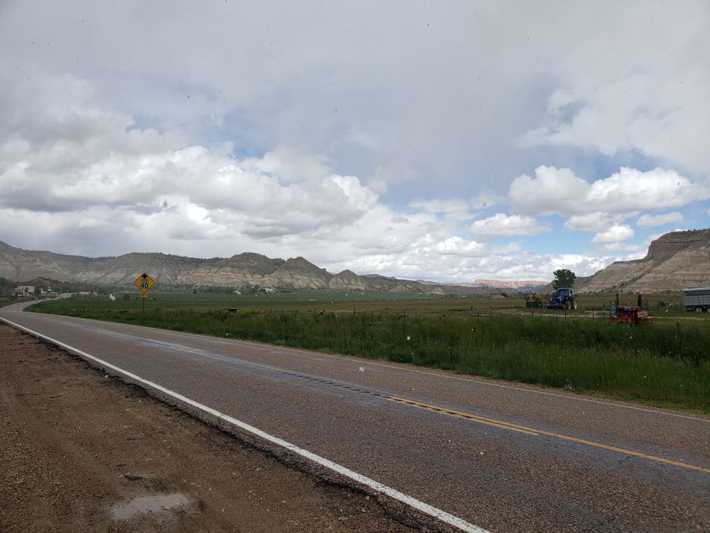
The road heading west out of Bryce starts with a steep descent to the town of Tropic and goes through two more small towns before entering Grand Staircase-Escalante National Monument where the distance between towns increases. We watched storms roll by all around us as the road twisted and turned and left us uncertain if we were going to get hit by rain or not.

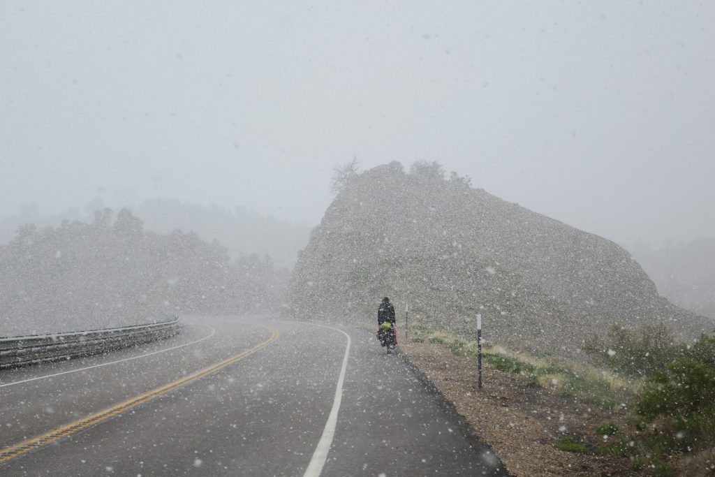
A long climb soon began and the snow returned, this time in the form of flakes instead of soft hail. As we wound our way up the steep road, a false summit gave us hope that our descent had arrived only for more uphill to come into view.

The snow increased in intensity and the speed limit dropped from 60 to 50, 40, 30, then finally 25 as the road steepened and steepened, winding its way towards a mountain pass. I was now in my lowest gear, inching up the steep slope at under 5 mph as huge flakes of snow billowed all around. When the road would cut through a hillside the currents of wind would cause cyclones of snowflakes and when the road ascended along a ridgeline with drops on either side, the snow would sweep across the road leaving my face stinging.

Snow piled up on my jacket as I reached the pass at 7600 feet. Donald was only 30 seconds ahead of me but I couldn’t see him at all. I bellowed at him and he was pulled over a mere couple hundred feet up the road – he had missed the scenic turnout on the left because of poor visibility.

We took shelter from the storm in a forest service bathroom at the pass, opening up the door occasionally only to have gusts of wind blow snow into the room. After waiting 15 minutes and not seeing any improvement we donned more clothing and headed into the storm and down from the pass. For the first few minutes I could barely see ahead as snow pelted my squinting eyes but eventually we got lower and the intensity of snowfall began to weaken.

Soaked from melting snow, our gloves were no longer effective at keeping our hands warm and with the wind from descending at 25 mph our hands soon began to freeze. I kept my hands behind my handlebar bag to shield them from the wind while Donald alternated keeping one hand in the pockets of his rain jacket while controlling the bike with the other.

We stopped a couple times to warm our frozen digits and eventually the storm subsided and the sun came out. Another hour of downhill landed us in the town of Escalante where we found lodging for the night.

Notes from Donald: “When I got up this morning I was not expecting that we were going to bike through a blizzard.”

Today’s mileage: 51 miles

Total: 897 miles
Day 17: Hatch, UT – Bryce Canyon National Park, UT

Leaving Hatch, our tailwind from yesterday was still in full force and we coasted north 10 miles to the junction with highway 12. These morning miles and yesterday’s afternoon miles might have been the easiest I’ve ever had on any tour. The prevailing winds have historically never been on my side and to have a 20 mph tailwind is pure luxury.

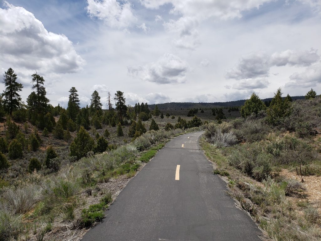
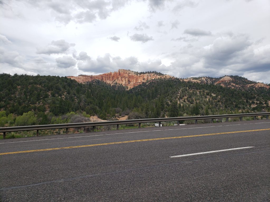
Before long we had to say goodbye to our tailwind as we turned west towards Bryce Canyon and other National Parks and Forests. Highway 12 has a bike path paralleling it for most of the way to Bryce Canyon as we climbed up to 8000 ft. Soon we arrived in the park and found a single empty campsite among the hundred in the park – apparently 2 pm is “late” for getting a campsite!

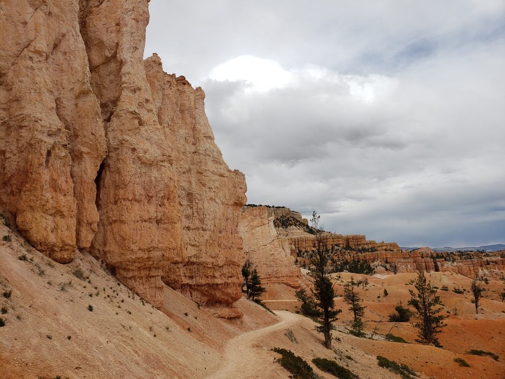
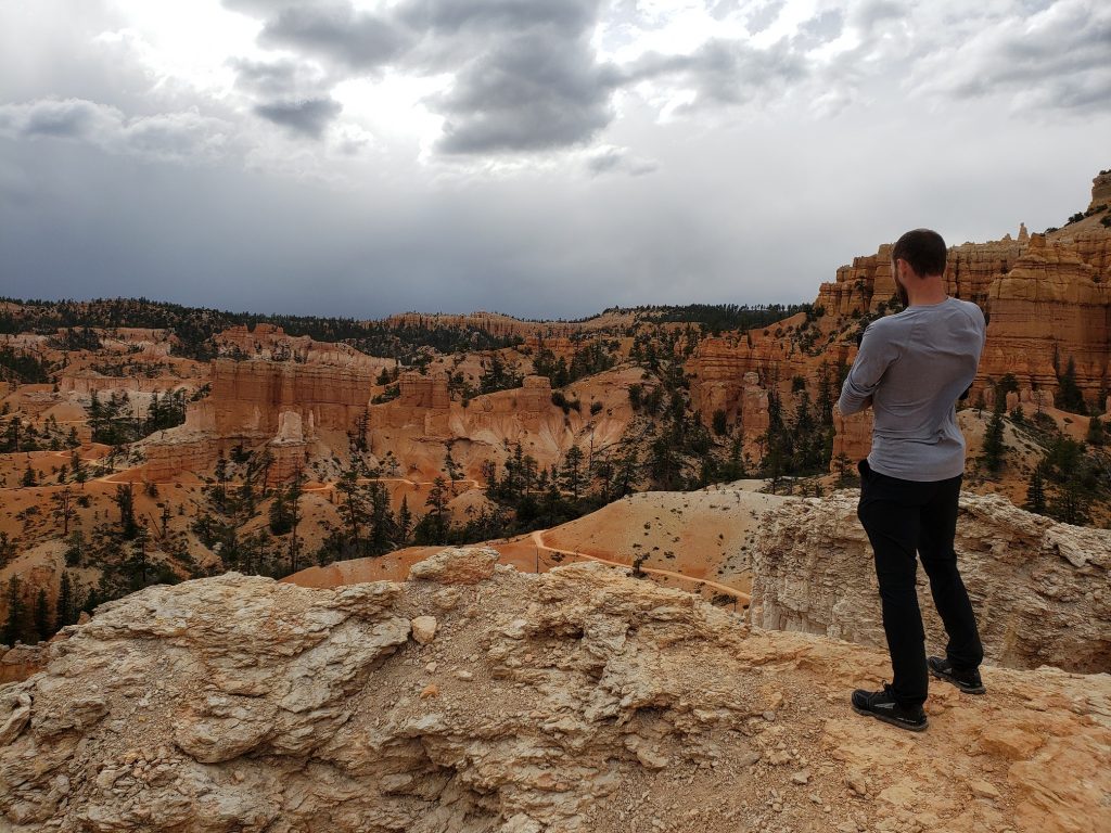
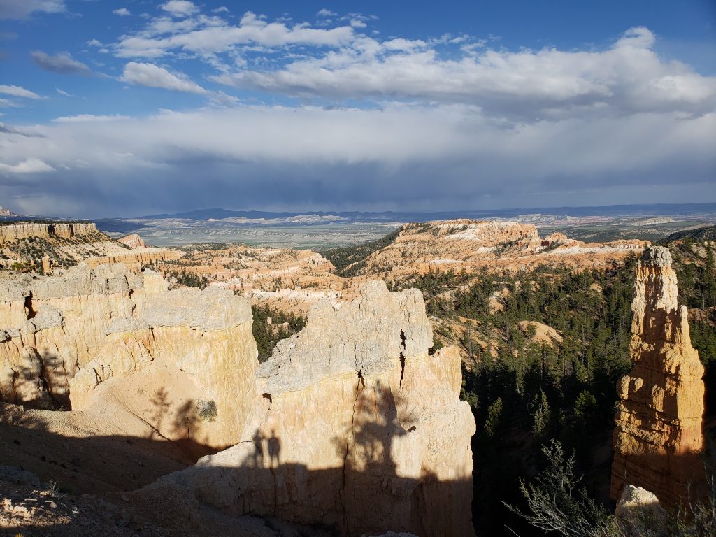
After setting up camp we hiked the “Fairyland trail” that dips down into the canyon and winds through the hoodoos for which the park is famous. It truly is a different kind of scenery and I’m glad we were able to stop by the park! However, after a few miles on the trail, we’d find ourselves rounding another bend in the trail to be greeted by another astounding view of hoodoos – telling all of the amazing views apart soon became difficult. The wind picked up and threatened us with rain but we only got hit by a few drops.

Our loop hike finished right behind our campsite and we cooked dinner just in time for the rain to come on in full force and we took shelter in our tents and called it an early night.

Notes from Donald: “I like hoodoos.”

Today’s mileage: 30 miles

Total: 846 miles

Day 16: Springdale, UT – Hatch, UT

This morning we had to tackle the biggest challenge of the trip yet – a tunnel.

The road heading west out of Zion National Park goes through a mile-long unlit tunnel and bikes aren’t allowed in it. So we set off to the park road to try and hitchhike with two fully loaded bicycles.

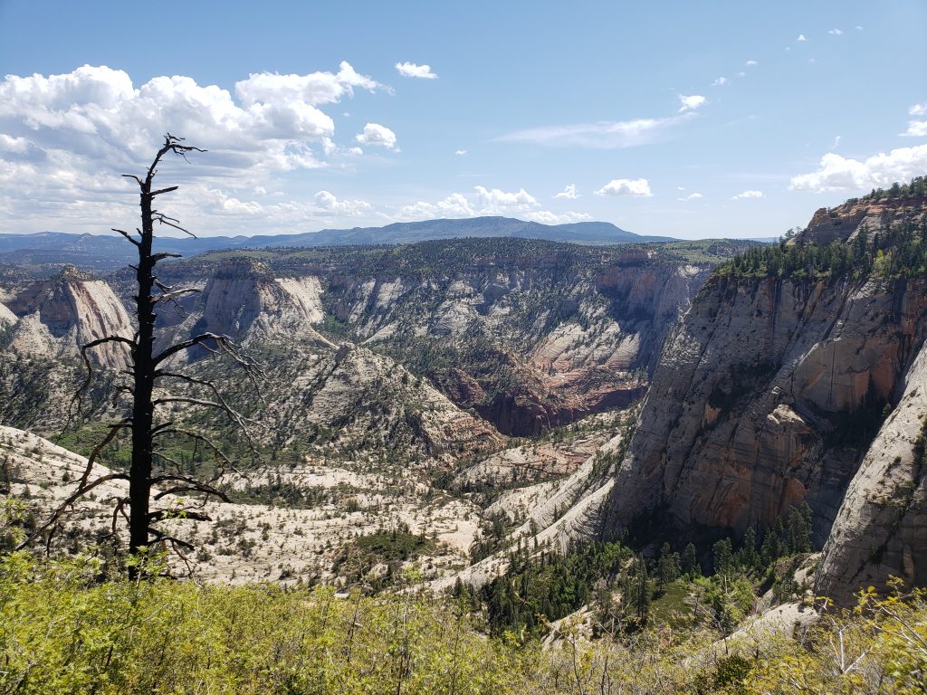
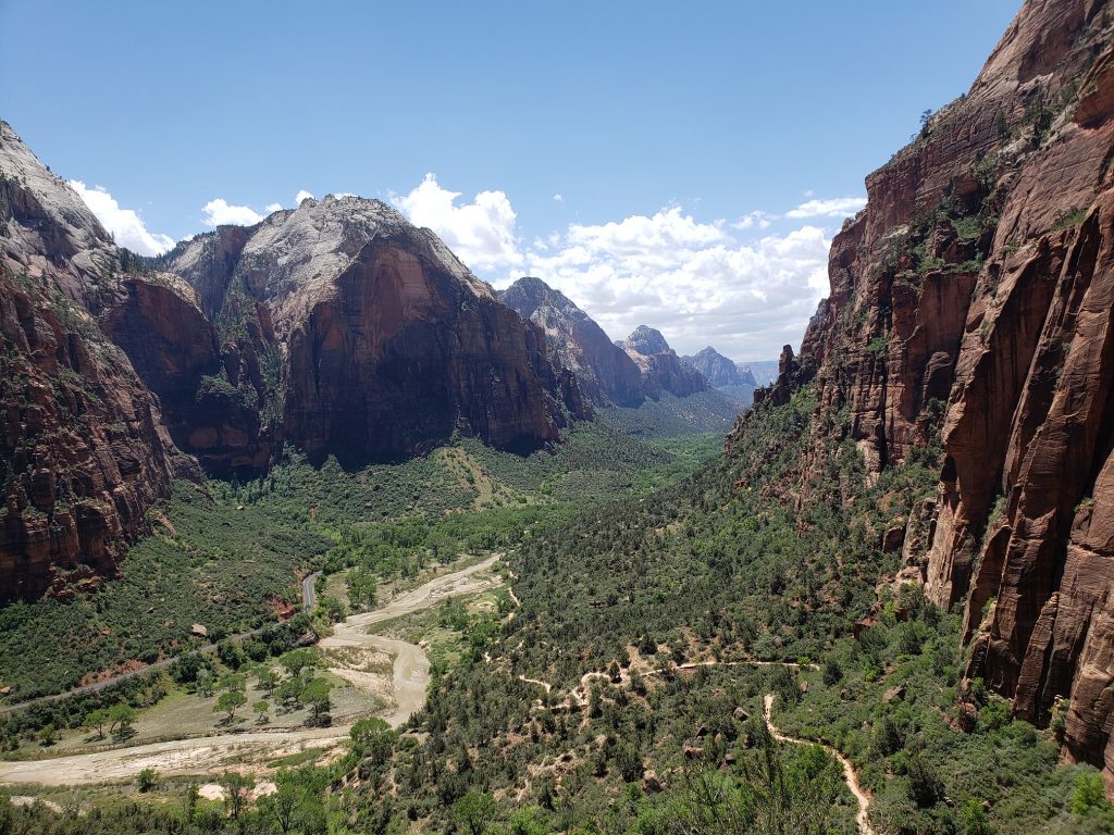
After about 45 minutes of trying a pickup truck pulled over that was willing to throw our bikes in the back and take us through the tunnel. John and Melissa from Florida were on a road trip around America in their RV and were taking the day to explore the area in their truck. We stopped at a number of pullouts for photos on the way out of the park and we bid eachother farewell at the junction with highway 89.

It was already lunchtime so we stopped for a quick lunch in the town of Orderville at a German bakery/beer garden. It was to be a hilly day as we climbed up towards Bryce Canyon which lies at 8000ft. There was a strong wind from the south though and as we made our way north into the mountains we were grateful to not be facing a heavy headwind for a change.

Before long, Donald got a flat tire. He has a tubeless tire setup which neither of us is too familiar with, and this same spot had gotten punctured and leaked air twice two days ago. This time we decided to plug the tire with a bizarre poking device – fingers crossed that it will hold.

We reached a pass at 7500ft and had 12 miles of incredibly fast downhill into the town of Hatch. By this time it was already getting late in the day so we decided to call it short and stop for the night. Tomorrow we head towards Bryce Canyon and hope that the forecasted rain doesn’t materialize.

Notes from Donald: “We hitchhiked today! That was interesting and went better than expected.”

Today’s mileage: 40 miles
Total: 816 miles

Day 14: Jacob Lake, AZ – Springdale, UT

After looking over our route we picked Zion National Park as our next destination. It’s about 85 miles from Jacob Lake and sets us up to head north towards Bryce Canyon and central Utah afterwards.

We headed north out of Jacob Lake into the dense pine forest and soon our descent from the northern rim plateau began. Once again the terrain opened up with the trees becoming less dense, eventually yielding to a vast prairie. Our first stop for the day was here in the small town of Fredonia, 30 miles and 3000 feet below. The descent was fast and we grabbed a quick lunch at the sole restaurant in town. It was a fine restaurant but as much as I enjoy American food, it’s getting tiresome.

Back on the road, we headed west onto Arizona 389 which had a surprisingly good shoulder. A headwind ensured these early afternoon miles went slowly and we took refuge in a gas station for replenishment before the final push to Utah.

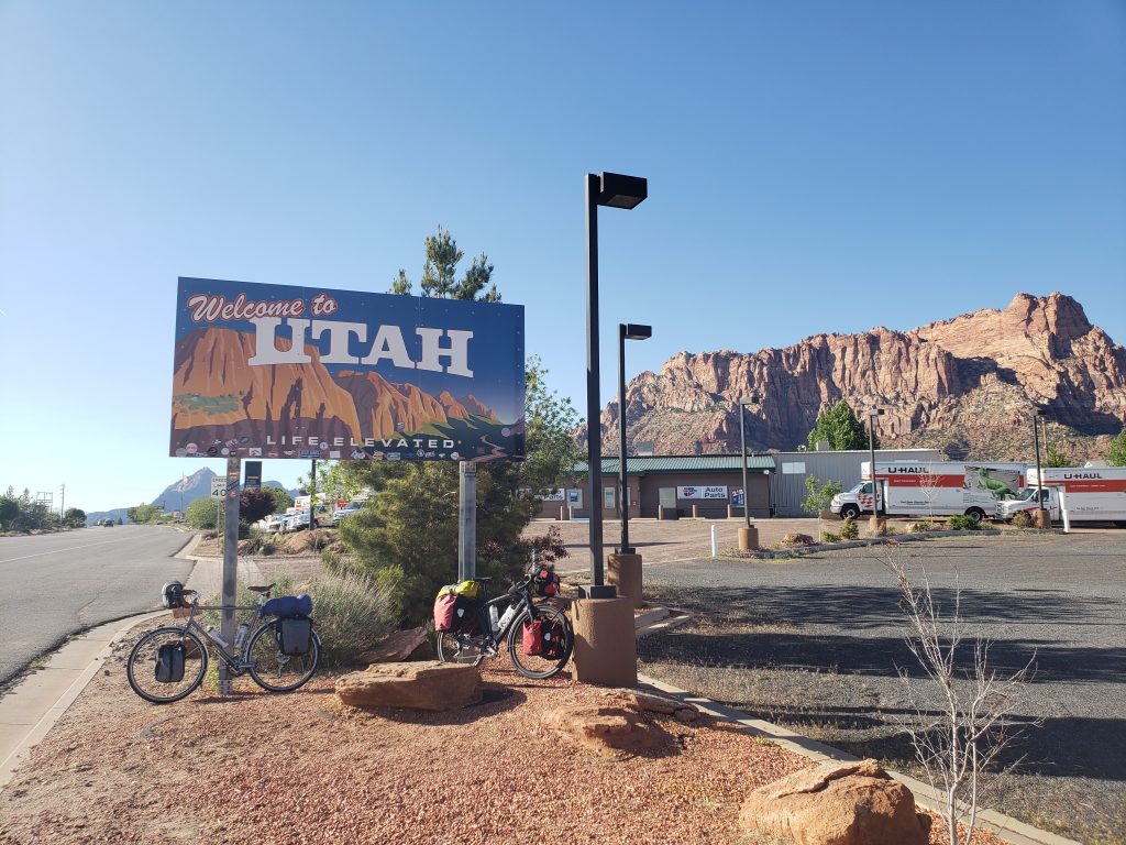
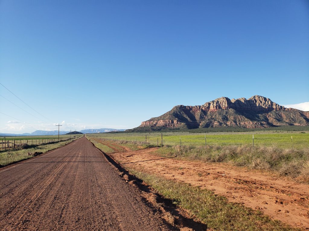
At the border of Arizona and Utah lie the twin cities of Colorado City and Hildale, infamous for their polygamist history. The average household size is nearly 8 people per household, so perhaps it’s not just history. Once in Utah we traded shoulder quantity for quality as the smoothness drastically improved but the width of the shoulder decreased to less than a foot. After eight harrowing miles of trying to stay in the shoulder we finally made our way off the highway onto a rural gravel road with cow pastures on either side. The name of this road: “Main Street”.

There’s a BLM road that runs north towards Springdale and Zion and shaves more than thirty miles off of the paved route. Though our bikes are not too well suited for dirt and gravel roads, they can get the job done. And thankfully so because this road was perhaps the best on the trip to date!

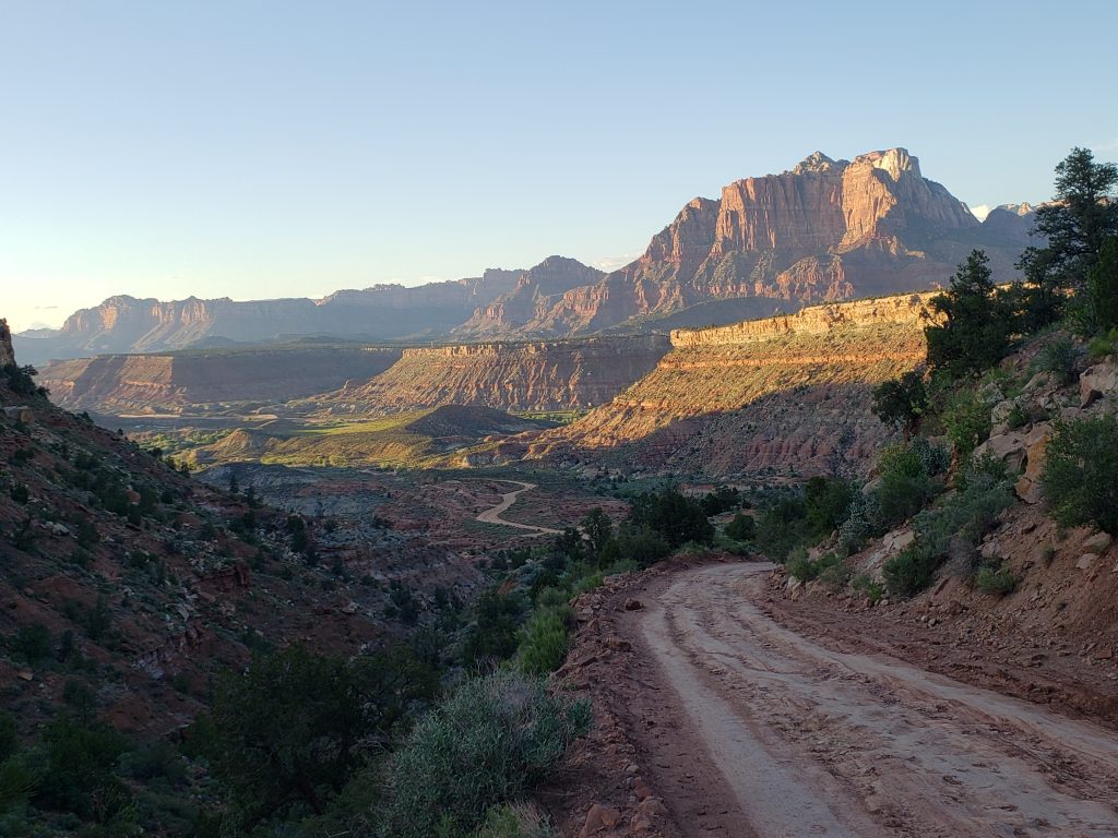
“Main Street” ended and the road began curving through desert sage and piney brush, descending towards the Zion valley. Signs warned us of rough and at-times impassable roads ahead and with each curve in the road we were greeted with stunning views of the surrounding mountains and cliffs that towered above us. A passing Jeep making its way up the hill stopped and told us “You must be Germans. Only Germans do crazy things like this.”

The road culminated in a winding, incredibly bumpy stretch with grades topping 20%. My forearms grew sore from holding the brakes so tightly but eventually we arrived at the town of Springdale, at the base of Zion National Park. We’ll be staying here two nights to be able to visit the park. And to eat at both of the Asian restaurants in town.

Notes from Donald: “Towards the end of the day we were a little apprehensive about the upcoming dirt road but it turned out to be a really cool, fun, and beautiful shortcut.”

Today’s mileage: 85 miles

Total: 777 miles