Day 18: Cincinnati, OH – Versailles, IN

Got a late start today. I was out of my campground at 11, but had to eat lunch, plan my route, and grab some groceries before finally making my way out of town after noon.

I guess I haven’t talked about much of my routine yet. So I have a medium term destination in mind at all times. Right now it’s Louisville, then Denver, etc. So I know the general direction in which I want to travel. I’ll bring up my map on my phone and search for “camping” in an area that looks to be about a day’s ride from where I am, check out websites and travel distances (add 15% or so for bike travel) and make reservations if I deem it necessary.

Today was a weekend so when I decided on Versailles State Park, I called them and made a reservation. On weekdays I don’t bother. I then pulled up maps.google.com on my phone so I can view the terrain and possible bike paths ahead of me (actually this is done in parallel with finding campgrounds as my destination would change depending on areas I’d want to avoid of paths I want to go on). So today I saw that to my direct west there were lots of hills and so I plotted out a route that would take me to the north a bit (out of my way) to avoid the worst of the hills.

I then wrote down what turns to take on a piece of paper that I keep in my map holder on top of my handlebar bag. Since I choose roads manually it’s a hassle to figure out distances between turns so I write down landmarks or other directions instead.

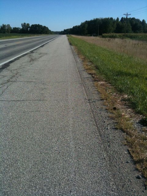
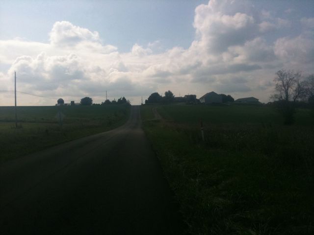
Directions on hand, I started westward out of the suburbs of Cincinnati and towards Indiana. Once in indiana, a road I had chosen turned out to be pretty bad for biking because it had a 4-6 inch shoulder and 55mph speed limit. So I pulled over and looked for when I could next turn off and still go the direction I wanted to, and went on my way. It was about then that I had a 500 foot climb. I was pretty happy that I was able to do it without stopping.

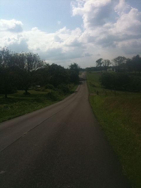
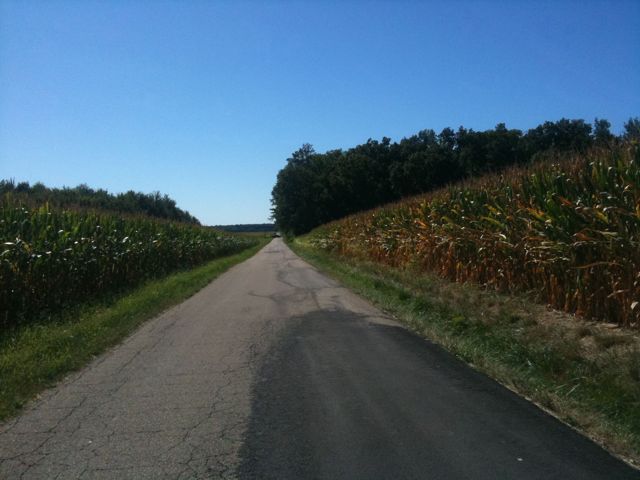
Turning onto rural roads requires re-checking your map a lot. Roads never last more than a few miles and aren’t marked the same as on the map. Lots of turns but very little traffic. Some days (like today) there are lots of dogs on these roads. Had a few close encounters – today was definitely the worst dog day so far. A couple times I encountered state highways with 10 foot wide shoulders and few trucks so I took those when I saw them.

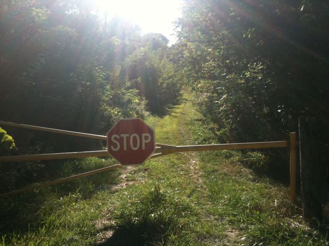
I arrived at the state park from the north and found the road was closed. Not to be dissuaded, I just walked around the barrier and down the closed road for a mile until it joined the state park. Several hills later and I was at my campsite. This one is less of a glorified parking lot than yesterday but there still are lots of RVs.

I took a shower and headed into the town next to the park for dinner. When I had called to make reservations this morning the man on the phone called it VerSALLes so I figured I had misread the name. Nope, just turns that’s how it’s pronounced here.

I rode around the town looking for somewhere to eat other than mcdonalds and came across a place, the Yellow Dog Tavern. I’ve been eating a lot of burgers this trip and even those that are supposedly “good” are just hamburgers, and most of the other food I’ve eaten has been similarly uninspired so I was happy when I found some thought had been put into the one I ordered – it was great. I had a nice chat with the owner and the patrons and gave them my website (hi!).

The ride back to my campsite was cold, hilly, and completely dark but I didn’t mind because I had a great evening.

Today’s mileage: 71 miles
Total: 1015 miles

Hit the 1k mark!
Day 17: Cedarville, OH – Cincinnati, OH

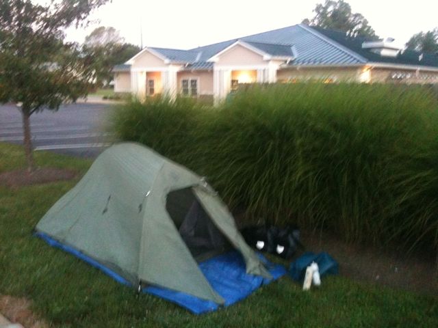
I got up shortly after dawn and packed up my camp quickly. While it was great I had the invitation to camp on the property, I was still too self conscious and loathed the possibility of being discovered. After a breakfast of some reeces pieces, I set off on the trail at about 7:30.

It was cold – mid 50s – and so I put on whatever I could to keep me warm, which was only my rain jacket. After several miles I stopped in Xenia, Ohio to take a break and wait for things to warm up. Xenia is the hub of all the trails in southwest Ohio and so I had to decide if I wanted to go south or southwest. The men I ate dinner with last night thought southwest might be best so I wouldn’t have to deal with crossing Cincinnati, but after looking up campgrounds I decided on a little park about 10 miles north of the city so south it was.

Along the trail there were towns every 8 or so miles and so I kept an eye out for somewhere to eat. However, there weren’t many options. Town after town went by and all the places to eat were either closed permanently or didn’t open until later in the day. Finally after about 45 or 50 miles I found a bar right next to the trail that was open.

Despite it’s proximity to the trail and the fact that it advertised lunch and dinner, the place was empty. I had a good conversation with the bartender about my trip and life, and headed out. It turned out that about 2 miles later was a big and busy town with lots of places to eat, but I didn’t regret stopping at the bar.

I got off the trail a few miles later – about 10 miles before the end of it – so I could cross the northern suburbs of Cincinnati to get to the campground. I was immediately greeted with a pretty big hill, but after a couple more, things flattened out a bit before getting hilly again. I arrived at the campground at 4 which was probably the earliest I’ve ever called it a day. I went and had more okay Chinese food for dinner and used my free time to get some reading done.

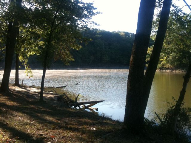
At one point, another person staying at the campground came up to me and commented on how I had the best campsite in the park because of my view of the lake, and how she wished they would clear more if the trees so more people could see the lake. I looked around. This place was just a slightly glorified parking lot at this point because of how much they had cleared to make room for RVs. Some people are crazy.

Today’s mileage: 79 miles
Total: 944 miles

As a side note, the mileage is total miles biked including errands, getting food, etc. Not just progression along my path.

Day 16: Columbus, OH – Cedarville, OH

My sleep last night was bizarre and sporadic, but the sum of the parts left me rested in the morning. I once again took my time getting checked out of the hotel since I have been planning on doing shorter days in order to arrive in Louisville on the 30th.

Heading out of Columbus, I connected to a road that supposedly had a bike lane, but it turned out not to. Since I had a late start, I stopped for lunch after only 12 or so miles and ate at a Chinese buffet. It had been a long time since I had eaten at that sort of place, and it was pretty decent. One of the journals of an extended bike tourist I had read mentioned that Chinese buffets were the best bang for the buck, but unfortunately since I hadn’t ridden much, I had not worked up much of an appetite. It was still decent and cheap so no complaints.

I took rural roads to connect to a bike path. This path is part of a large network of paths in southwest Ohio that will probably last me 90 miles. Pretty sweet. I took to the trail at a slow pace, I often was just meandering at 9 or 10 mph.

This section of the trail was pretty desolate and it just went on straight as far as the eye can see. I kept my leisurely pace while pondering existence.
At one point I passed a road biker going the opposite direction at high speed. I wondered what I would say if he came back my way and asked why I was going so slowly. I would say “it’s because I’ve got nowhere to be.

I think I struck at the heart of the issue there. That phrase has several meanings. It means I’m on a relaxed journey where there are no deadlines. I means I hadn’t figured out where I was going to stop or stay that night. It means I’ve got 6 days to kill before Louisville. It also means that one of the reasons I am on this trip is that I felt I was out of place with my life in Arlington and that’s why I left.

It was about this time that I was passed by a couple of older cyclists. Except instead of passing me, we struck up a conversation about my trip. We wound up biking together for a few miles before deciding that we would eat dinner together in the next town. The road biker I had seen earlier had turned around and passed us by but didn’t say anything, and I wasn’t worried about it.

We wound up eating dinner together and talked about biking, dogs, and the route I would take from here. They wound up paying for my dinner and left to finish their ride.

The owner of the establishment then came up to me and told me he owned all the property surrounding the restaurant including the next door laundromat and that I could camp out if I wanted. That was pretty awesome. So I took him up on his offer, did my laundry while waiting for it to get dark, and pitched my tent.

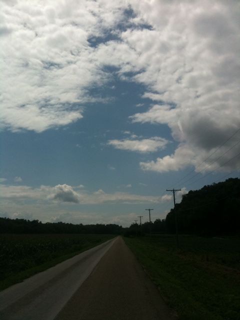
I need to take pictures of things other than roads and clouds. I’ll work on that.

Today’s mileage: 54 miles
Total: 865 miles

Day 15: Mt. Vernon, OH – Columbus, OH

Sleeping in today, I barely made it out to take advantage of the continental breakfast. Apparently the lady at the front desk the night before had told everyone at the motel about my trip and so a couple of the staff came up to me to ask about it. I packed up and got on the road shortly after 11.

It was a cool, overcast day which made the riding pleasant. I headed out of town to rural roads and took those for a while. At one point I was supposed to make a turn onto a road called “lover’s lane” but missed the turn because the road wasn’t marked. It was poetic. After about 30 miles, I arrived at a small town for lunch. Most of the small towns I go through just have a place or two to eat in the middle of town, but this one had big sprawling suburban shopping centers on the outskirts of town – I was approaching Columbus.

After a lunch of average Chinese food, I had to ride on a very busy two lane highway for 3 miles, which was pretty bad. After that, though, I connected to a bike path which would lead me to a network of bike paths throughout the metropolitan area. This area is very bike friendly and I think I rode on my first bike lane of the trip today for a few miles to connect between trails.

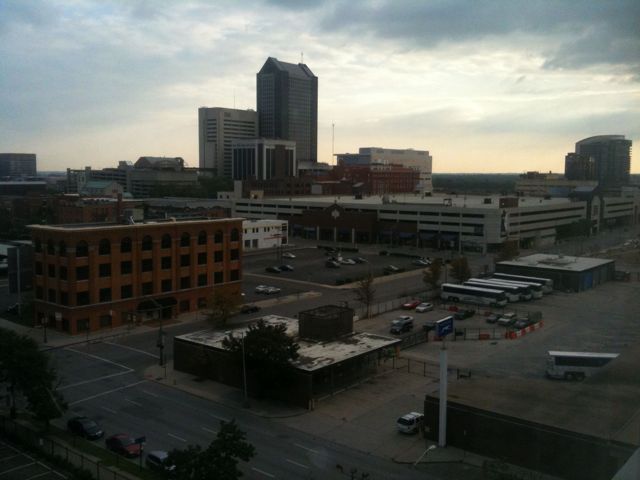
As I’ve noticed with most cities, the people on the paths aren’t as friendly and usually don’t reciprocate the nod or wave so I gave up on those for the day. My trail eventually hit a detour which took me right through the middle of the local college, I think it was university of Ohio. Lots of cyclists. I talked to a friendly biker at a red light and got directions downtown where I could find a hotel.

I ate an average dinner and drank a lot. A pretty decent day but crappy birthday.

It’s only 217 miles to Louisville, which probably means more like 270 on a bike. I have 6 days to get there so I’ll be taking lots of short days for the next week.

Today’s mileage: 57 miles
Total: 811 miles

Day 14: Portage Lakes State Park, OH – Mt. Vernon, OH

I wonder if I’ll ever get used to camping – I always wake up sweaty and uncomfortable. I got up at 7 today and packed up camp before hitting the road at 8:30. Stopped at a pharmacy for some supplies and ate a pretty big breakfast while planning out my route for the day. Turns out that I had gone probably 15 miles out of my way yesterday and the few miles I had ridden to get breakfast were also in the wrong direction. Oh well.

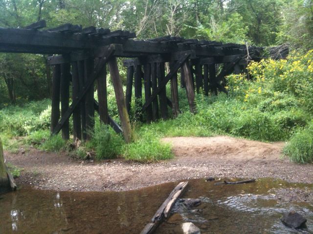
I headed over a few hills before reconnecting with the Ohio-Erie canal trail which I took for a few last miles before turning off on a connector trail to take me west. Just a couple miles into the connector trail a bridge was closed – it looked like it had burned down.

In order to get past the bridge, I had to lower my bike down a 3 foot drop then down a hill, across a stream, and back up a similar hill and ledge. It was a pretty big pain but I managed to do it somehow without having to unpack my bike.

Continuing on, I got a few drops of rain but for the most part it was just overcast and cool. Pretty good riding weather.

So far this trip I’ve had a few close calls with bike balance but today was the first time the bike actually fell. I hit a patch of deep gravel and the bike just sort of slid away under me. Somehow while the bike was falling, I managed to unclip both of my feet from the pedals, leap off and over the bike, and hit the ground running. Not sure how that worked, I guess I just have good reflexes. It took me several steps to slow to a stop, and I turned around, picked up the bike, and kept on going.

When I finish this trip I’d like to try running again. In the past year I tried running a few times but each time was a painful experience – arduous during the run followed by a couple weeks of knee pain. Maybe biking has given me the cardio and leg strength to get past these problems, but I don’t want to try until I finish the trip.

My ride today was through a beautiful part of rural Ohio and it switched between flat terrain when I was on bike paths and constant rolling hills for the rest of the time. A lot of it was amish country so sometimes cars were more patient than normal. Still got honked at twice, but at least all the dogs that tried to chase me today were chained up.

Eating meals every few hours, I just kept on churning the miles away. In total I took 3 or 4 bike paths with most of the rest of the time on rural roads, but still a fair share of miles on state highways which are my least favorite. I hope traffic on these roads dies down as I go west.

I stopped for dinner and decided to head for a campground supposedly a few miles away. However, on the bike path I met an older cyclist from the area and decided to ride with him. We wound up riding and talking for 12 or so miles until the end of the trail where he showed me the way to a place to stay, which was pretty awesome of him.

My odometer showed I had ridden 95 miles and so I was tempted to ride around town for 5 more miles to make it my first century – 100 mile day. At this point it isn’t really a question of if I can do it but rather just when my start and end points are the correct distance apart. In any case, I called it a day and got a room.

Today’s mileage: 95 miles
Total: 754 miles