Day 53: Telluride, CO – Dolores, CO

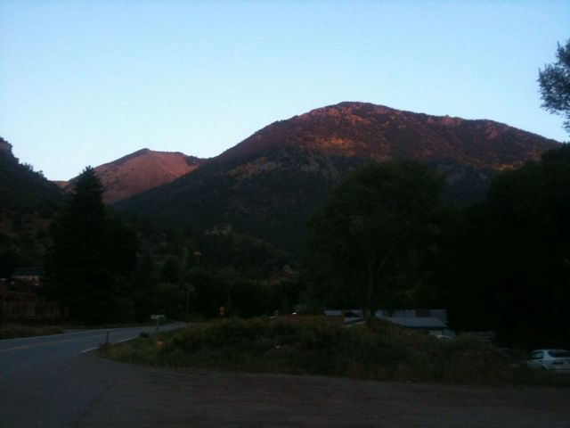
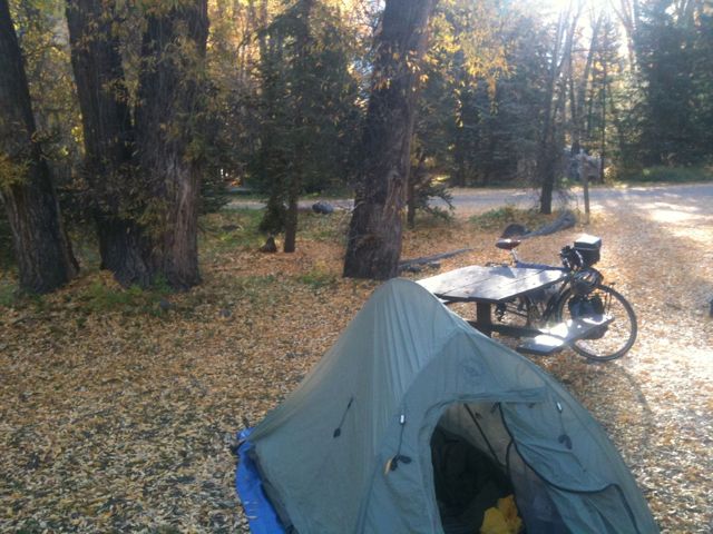
It was really cold last night, and so while I was awake at 6, I didn’t manage to get out of my sleeping bag until 8. I packed up camp and waited around until I could ride without freezing, leaving town at about 10.

I had to backtrack 3 miles to get back to my path, and once I got on it the hills started immediately and steeply. Today was my last day in the Rockies and they did not go quietly.

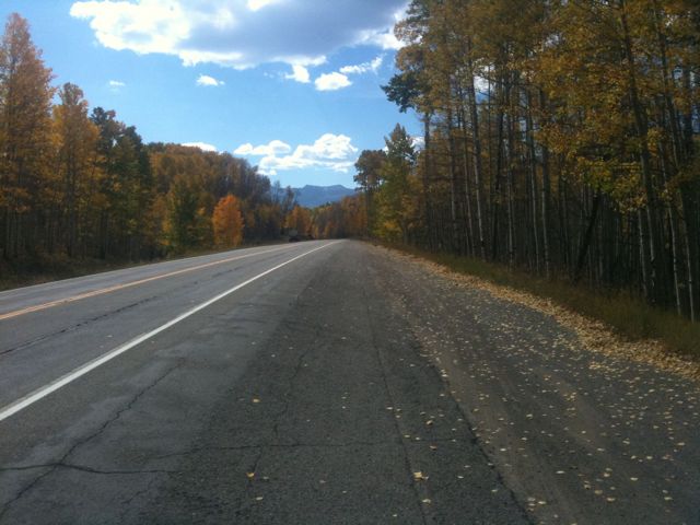
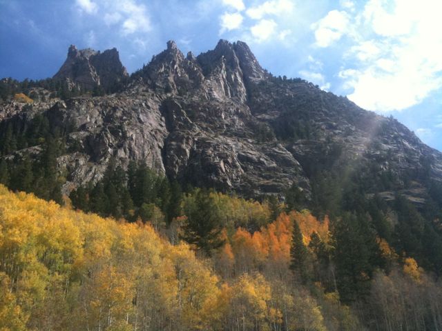
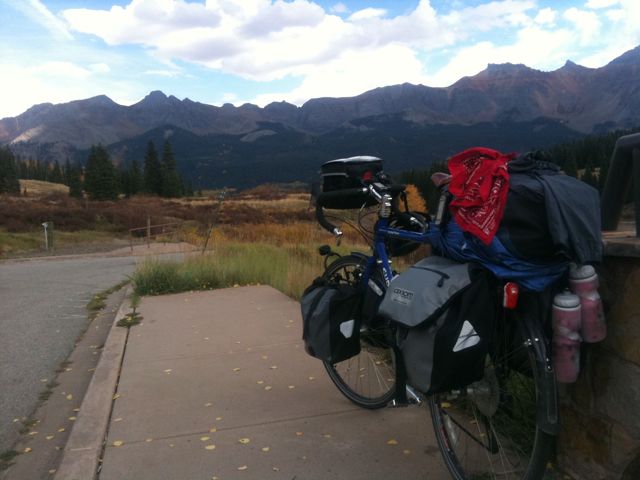
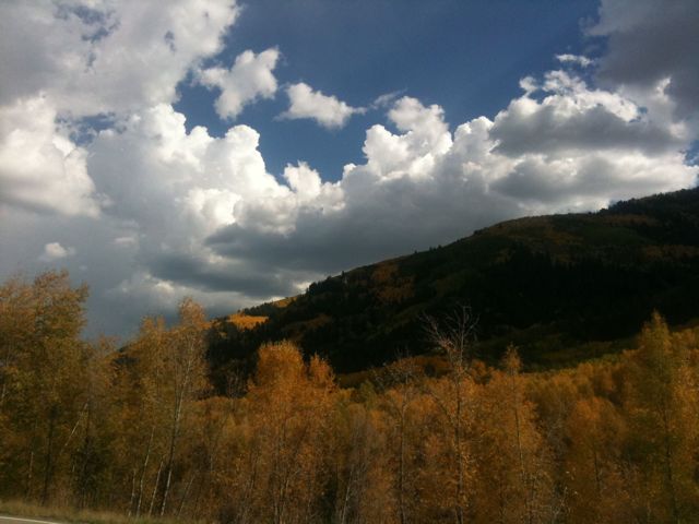
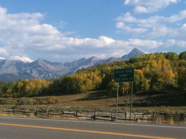
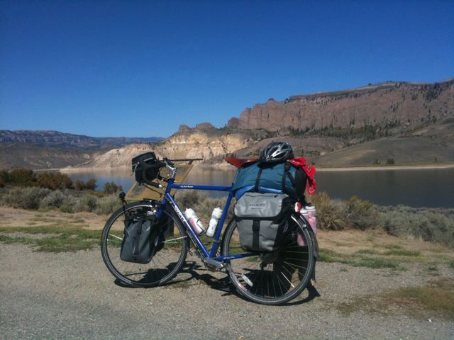
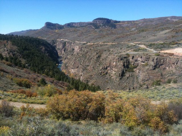
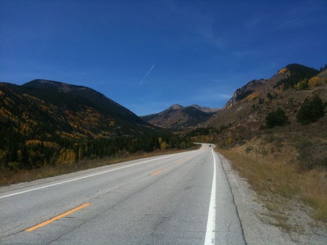
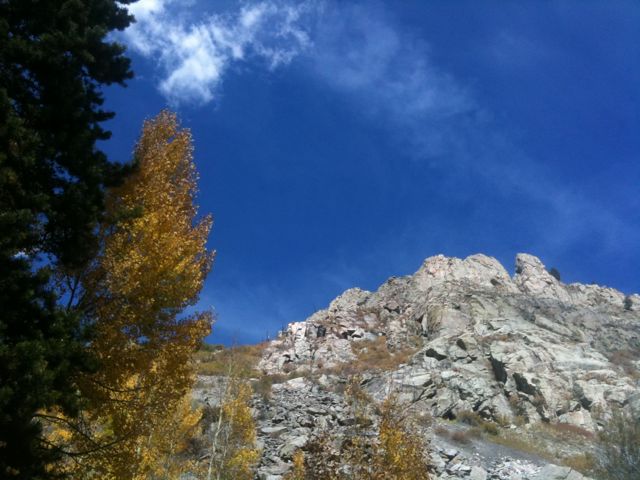
While I have been seeing Aspen trees for some time now, they were most impressive today, with them lining the road and whole mountainsides of them in view. The road went up and down, slowly gaining elevation until I reached the pass at 10,222 feet. I stopped to take some photos and a small crowd gathered around me to take my picture, amazed that I had biked all the way from D.C. In terms of how I felt though, Monarch pass was harder, and the unnamed pass 2 days before was much harder than any of my other climbs, but I didn’t have a crowd of people taking my picture then. Feels strange.

Heading down into the valley, I once again had strong headwinds. It was supposed to be 50 miles of downhill but after the initial steep descent, the wind counteracted the down grade and I had to work to go down hill. That reminds me, I met a man at the campground this morning who had done a west to east bike tour and he talked about the many days with strong tail winds where it felt like he didn’t have to pedal at all. I was envious.

I passed through two towns that were supposed to have places to eat, but they were all closed, either permanently or for the day, so I continued on, eating energy bars.

As I approached the town of Dolores I got a flat tire, my rear tube was punctured by something, so I had to pull over on the side of the highway and replace the tube. It’s kind of a long process because I have to remove everything from my bike, replace the tube, pump it up, and put everything back on. Took maybe 40 minutes in all. I picked up my pace and averaged 18 mph for the rest of the way to Dolores and found a motel.

Today’s mileage: 64 miles.
Total: 2785 miles.
Day 52: Montrose, CO – Telluride, CO

I slept in this morning and as a result was rushing to get checked out of my hotel on time. After an early lunch and a couple errands I was headed south at about noon.

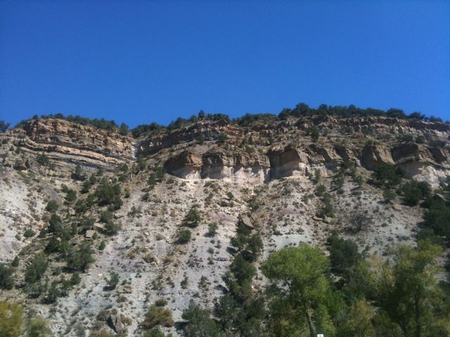
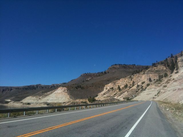
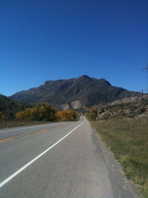
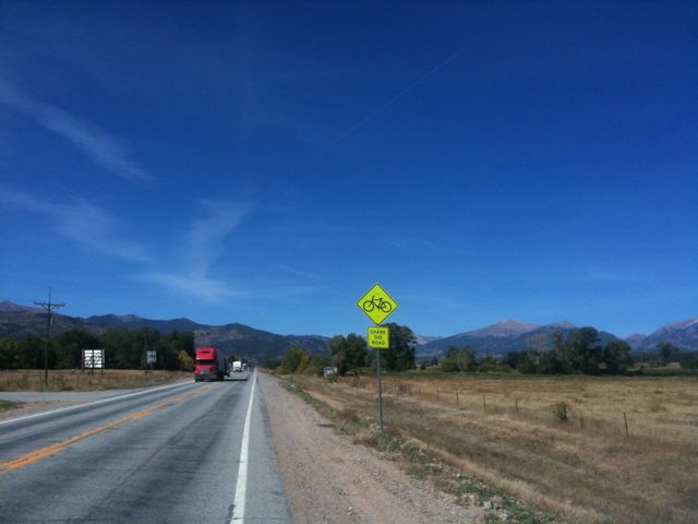
The landscape today was pretty dry like yesterday, with bluffs lining my path to the left and tall mountains to the distant south – where I was headed. The road was rather busy for a while but eventually the traffic calmed down after I got out of the vicinity of the “city.”

I reached a small town for lunch, but the only restaurant was closed so I had to eat at subway. It was to be a while until the next town so I stocked up on an additional 20 oz of water and headed towards the hills.

Passing over the first ridge, I was buffeted by a strong headwind. Great. Despite the winds though, I made my way up the 2000 ft climb with no difficulty and reached the pass at nearly 9000 feet.

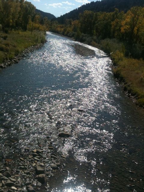
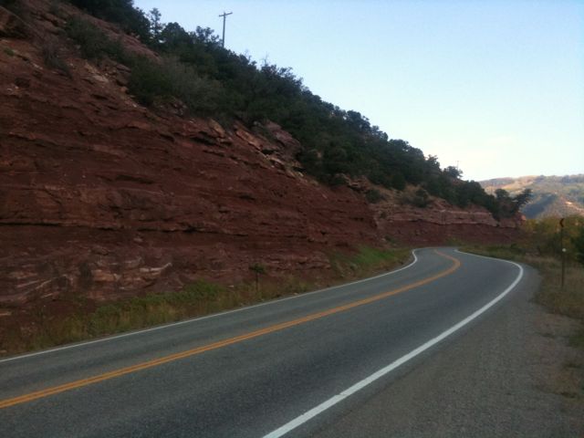
Winding my way down the valley after the pass, I was surrounded by steep walls of pine trees and cliff faces. It was getting late in the afternoon and it was already pretty dark in the valley. The road turned south-east and my minimal shoulder completely disappeared. I found a restaurant/lodge a few miles later and had a nice dinner. They didn’t have any rooms available for the night though, so it was back on the road. It was a pretty bad road to ride on in the dark, with lots of curves as it wound between a river and cliffs.

As I rounded a corner, I found a van had stopped and its driver was hailing me. Apparently it was a free shuttle service and he offered me a lift to Telluride. I accepted and got dropped off at the town park/campground and pitched my tent in the dark.

Today’s mileage: 57 miles.
Total mileage: 2721 miles.

Day 51: Gunnison, CO – Montrose, CO

Last night I got a flat in my front tire while biking around Gunnison, so I went to replace the tube first thing in the morning only to find it was a faulty tube, so I had to replace it again. I stopped by the local bike shop on the way out of town for some more tubes, then headed west.

Today I just followed route 50 the entire day. For the most part it had nice shoulders, but there were some dangerous sections where the shoulder disappeared and the road had tight curves. Luckily that was right after a construction zone so the cars came in packs every few minutes and I just pulled over to let them pass before continuing.

So far on my trip I haven’t had too much trouble dealing with being on the road alone, but today it hit me kind of hard and got pretty bummed out. If I am to make it to Anaheim on October 22nd though, that means just over 3 more weeks left. It’s not just the desire to go to a nerd convention though. Don’t care at all about that actually, I just want to be there to see people. This trip is definitely taking it’s toll physically and mentally on me in all sorts of ways. And so while I don’t want it to end, I’m also ready to see the Pacific.

Speaking of which, I’ve been looking over my maps and the Adventure Cycling Association’s routes through Utah and Northern Arizona seem very indirect. Not only that, they seem kind of poor routes, going up to 75 miles without any towns or services. So I may cut southwest once I enter Utah in order to save myself 3 or 4 hundred miles of riding at the expense of not visiting the Grand Canyon. I think I can live with that.

But anyways, today I had a couple 1000 foot climbs which is definitely nothing to sneeze at, but the day was more downhill than uphill and I wound up at the town of Montrose at 6000 feet elevation. Tomorrow looks to be a relatively challenging day with a 3000 foot climb, but hopefully I will be able to knock it out.

Today’s mileage: 69 miles.
Total: 2664 miles.

Day 49: Salida, CO – Gunnison, CO

Today was going to be the big day – I had the longest single climb and highest elevation of my trip ahead of me. So I stayed up late and didn’t get much sleep.

After a big late breakfast I got on the road at 11. The first 10 miles were a gentle uphill. I think. I thought I was going on flat ground but my speed was slower than it should have been and I gained a fair amount of elevation so I must have been going up. I often have this problem, being unable to tell if I am going up or down.

Anyways, the climb started in earnest after a bit and I slowly churned out the miles, going maybe 7.5 mph. I stopped once every few miles for water and to reapply chapstick, but it wasn’t nearly as arduous as my ride two days ago.

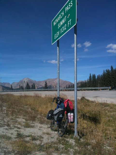
As I kept going, my pace slowed down slowly to 5.5 mph by the top, but I did reach the pass at 11312 feet with energy to spare for a final sprint when I could see the summit.

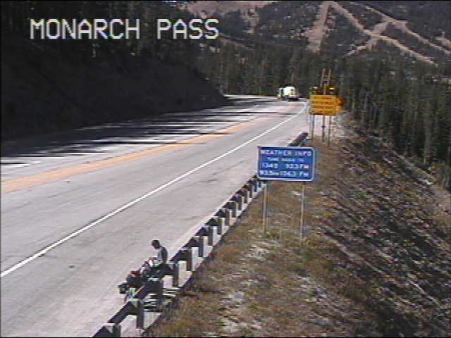
I took some photos, ate some food, and hung out in front of the department of transportation’s webcam to get a shot of myself at the top. Met a couple touring on a motorcycle and talked to them for a bit before heading down.

I was trying to make it to the town of Gunnison and had another 42 miles to go. It was a steep downhill ride for about 10 miles, after which the terrain flattened out. There was still a gentle down slope for much of the way but a stiff headwind kept me from being able to take advantage of it.

I arrived in Gunnison at sunset and found a motel. Went out in search of dinner and met a couple cool people at the local brew pub. Stayed up way too late and so I’ll be taking the day off tomorrow.

Today’s mileage: 64 miles.
Total: 2595 miles.