Day 3: Hillsboro, NM – Silver City, NM

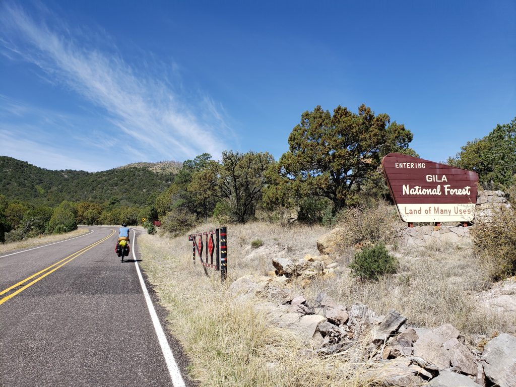
Donald and I did our best to down our breakfast souflees at the B&B and hit the road at 9:30. It was a nice morning and yesterday’s wind had subsided. Immediately out of town the climb towards Emory Pass begins and there’s 3000ft of gain to make it to the pass at 8200ft. We made good progress, taking our first break 8 miles and 1200ft in.

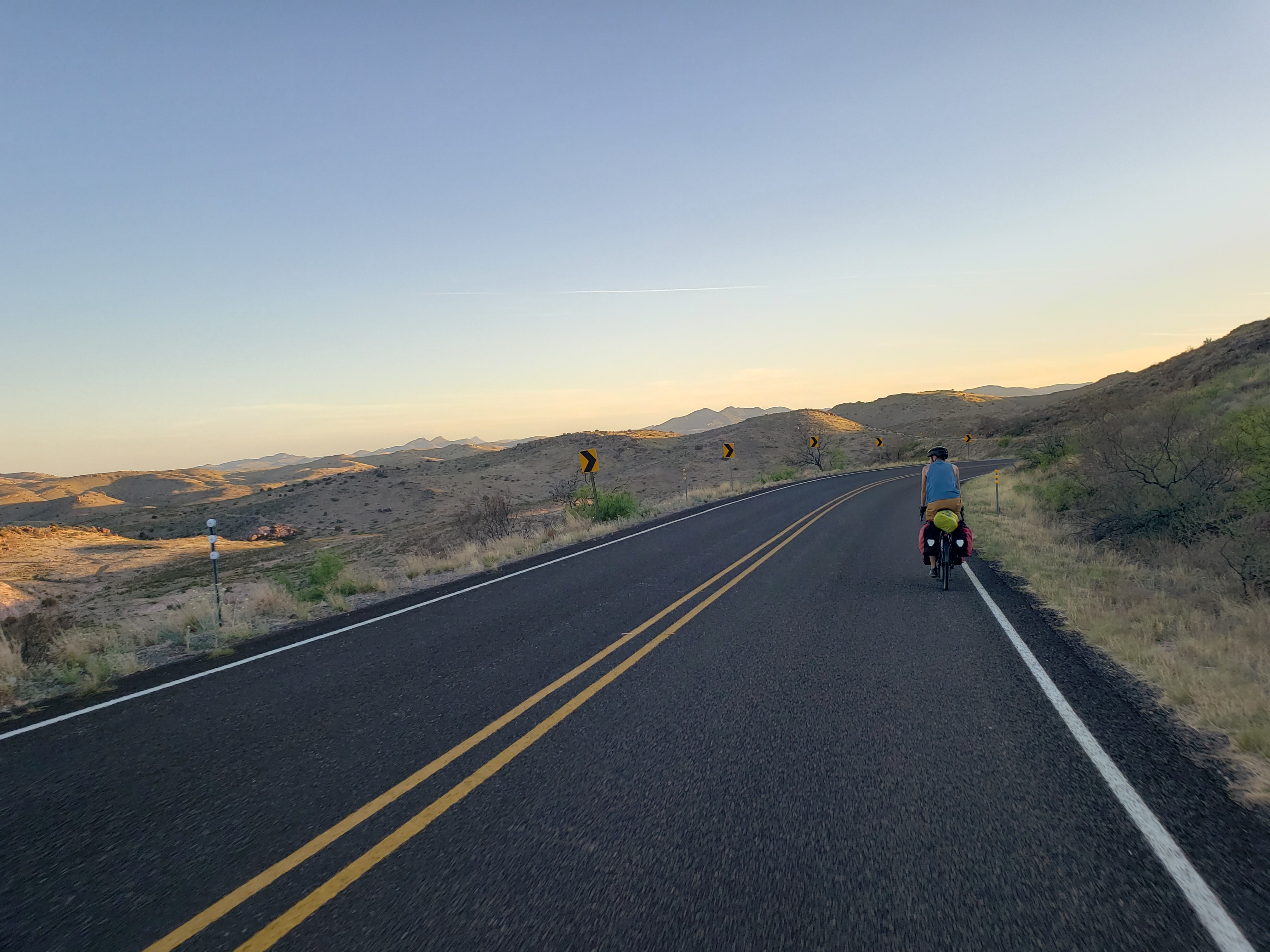
The road became steeper and the frequency of breaks increased as we wound higher and higher into the mountains. This road is excellent for cycling – the shoulder is nonexistent but the traffic is as well! The few drivers that pass by do so safely and often with a friendly wave.

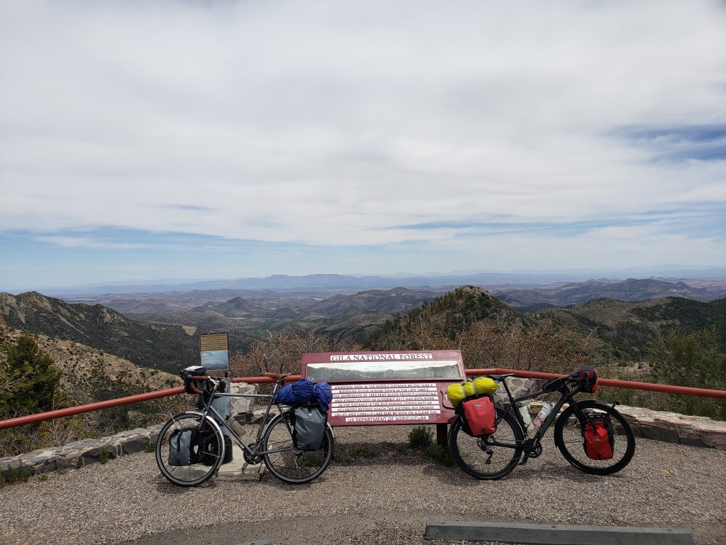
A couple more hours of hard work and we made it to the pass and were greeted with expansive views of the last day’s route. There’s a lone picnic table at the top and we stopped for a lunch of peanut butter and bagels.

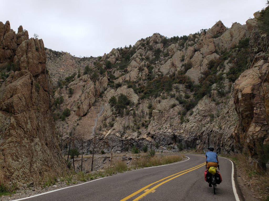
The road from the pass winds down sharply and the break from endlessly pushing the pedals was much welcome. The pine trees give way to a steep narrow canyon which opens up into grassy, shrubby highlands – leaving the desert behind. The road crosses a river valley and leads up and up into the hills. The long climb to Emory pass only made up about half of the total climbing of the day – there is a long series of hills between the pass and Silver City – the decreasing heights of which could probably be explained by an elegant equation.

The “Tour of the Gila” is a bicycle race in this area that, earlier in the day, came through the road we found ourselves on and the shoulder was littered with dozens of used gels and water bottles. The wind picked up again in the afternoon but it’s not as strong as yesterday and we pushed through the last 30 miles to Silver City in time for an on-time dinner!

Silver City is the largest town in the vicinity and the downtown area seems to still be thriving. I’m curious what made it so this town is doing well when so many others are falling by the wayside. We grabbed dinner at the local brewery and found a room in a historic hotel.

We’ll be taking a rest day in Silver City tomorrow to give our legs a rest and to restock on supplies.

Notes from Donald: “The wind was kind to us up to Emory Pass – pushing us a little bit sometimes and cooling when it wasn’t. The ride down was beautiful.”

Today’s mileage: 57 miles, 5915ft elevation

Total: 198 miles

Day 2: Radium Springs, NM – Hillsboro, NM

Today was a challenging day, but we made it through in high spirits!

Last night my sleeping pad decided to stop holding air so I made do with a bed of barely-covered gravel. I was lucky to be so tired from the day’s riding that I was still able to get a decent amount of sleep despite the circumstances.

First thing in the morning, I found my rear tire had lost all of its pressure overnight – luckily the patch lasted long enough to get to the campground! So I set off on installing the new tube. Attempts to find the leak in my sleeping pad were unsuccessful so I called ahead to a shop in Silver City and found that they carry sleeping pads! We hope to be there in a couple days.

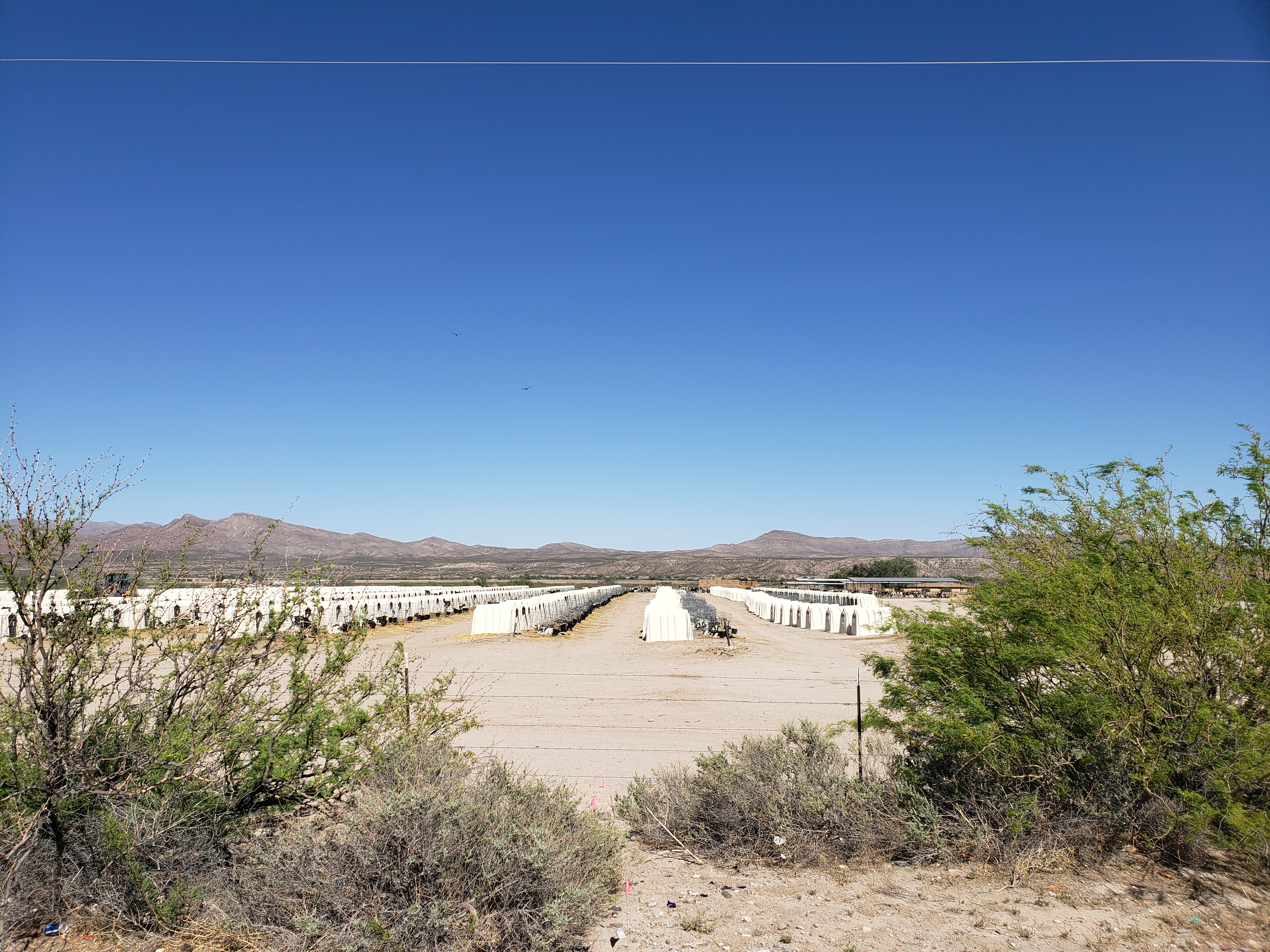
With so many things to take care of in the morning, we weren’t on the road until 11am. Donald’s hopes from yesterday were dashed – all morning we pushed through a stiff headwind. Lunchtime brought us to the town of Hatch, NM – the home of hatch chili peppers. We stopped for some much-needed Mexican food and once again braved the winds.

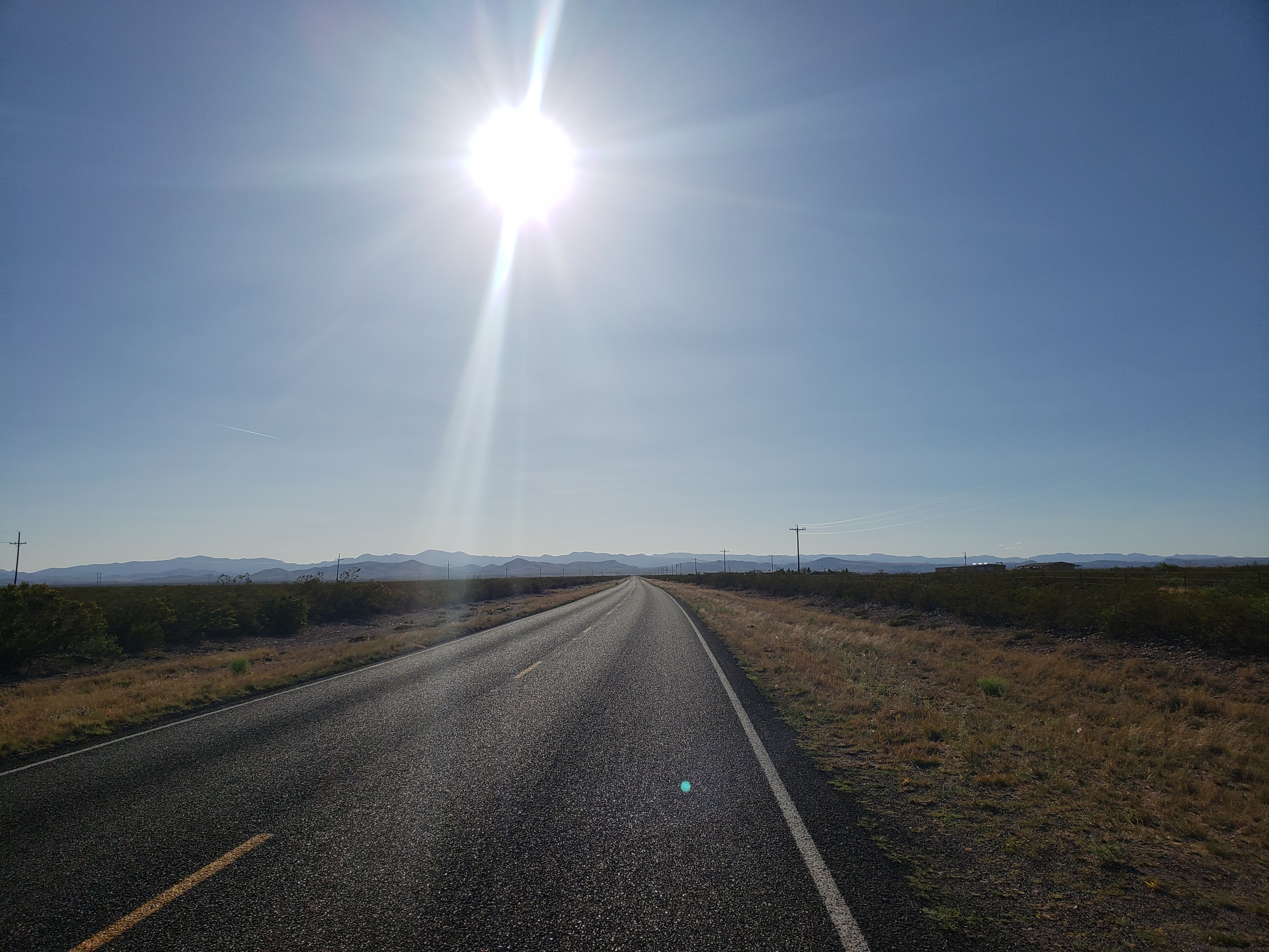
A dust devil swept across the road, barely missing us, and we took respite from the wind and sun underneath a tree. These afternoon miles were hard-earned, and every time the road turned briefly away from the wind we were reminded that we are not, in fact, completely terrible cyclists, but rather the wind is making us work for it.

The sun was lower in the sky and the road turned north to give us a respite from the wind. We had a choice to make – stay in the town of Caballo, or try and push 20 more miles uphill to Hillsboro. Caballo is at an exit off the interstate so I figured there might be some decent services, but it turns out the only thing there is a RV park. We decided to turn west towards Hillsboro and the winds came back in full force, reducing our speed to a crawling 7-10mph as the mountains ahead inched nearer. The approaching mountains are also more than a faraway sight – we had 1300ft to gain as we approached Hillsboro at an elevation of 5200ft. On a normal day mid-tour, 1300ft isn’t much to worry about but we’re not yet in touring shape and the long day of headwinds made the final push to Hillsboro a heroic effort.

We rolled into town right after sunset and were unable to find the motel listed in town. There are several old buildings that used to be motels but none are still operating. Already this trip is a reminder of what I learned on my first cross-country tour – small town America isn’t doing so well. The main streets of towns are covered with shuttered businesses, and if the town is large enough there will be strip malls on the outskirts of town with all of the thriving businesses. In communities too small for this, I imagine folks have to commute long distances for essentials.

The sole non-tent lodging option in Hillsboro is a B&B operating out of a family’s home. They don’t have any other guests tonight and so we get our choice of room.

Breakfast tomorrow is 7:30am – we have a long day in store for us as we head towards Emory Pass at 8200ft.

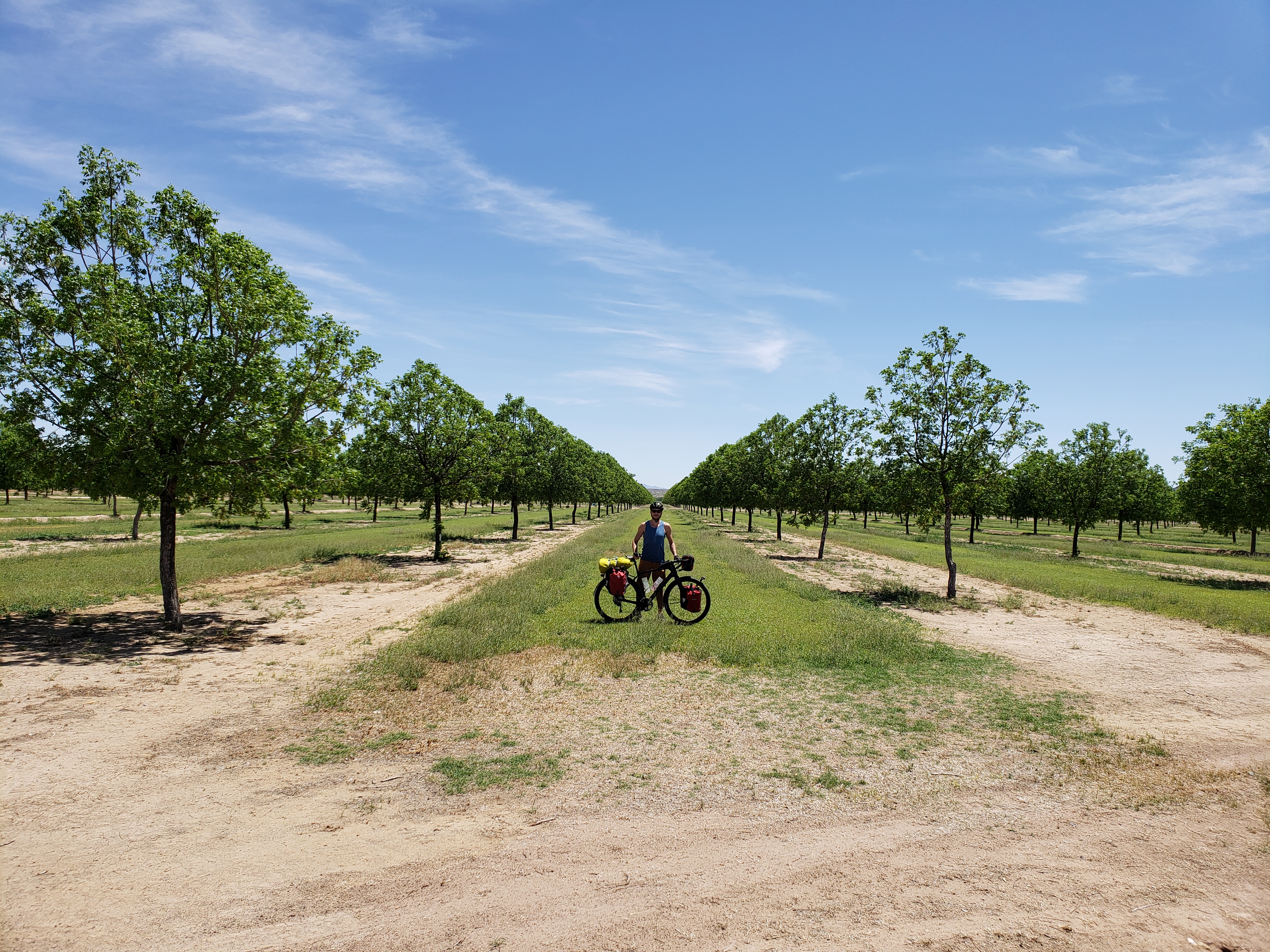
Note from Donald: “We should take up farming. There was that pecan farm by Hatch that was for sale. Also, I know a great place to build a wind farm!”

Today’s mileage: 67 miles
Total: 141 miles

Day 1: El Paso, TX – Radium Springs, NM

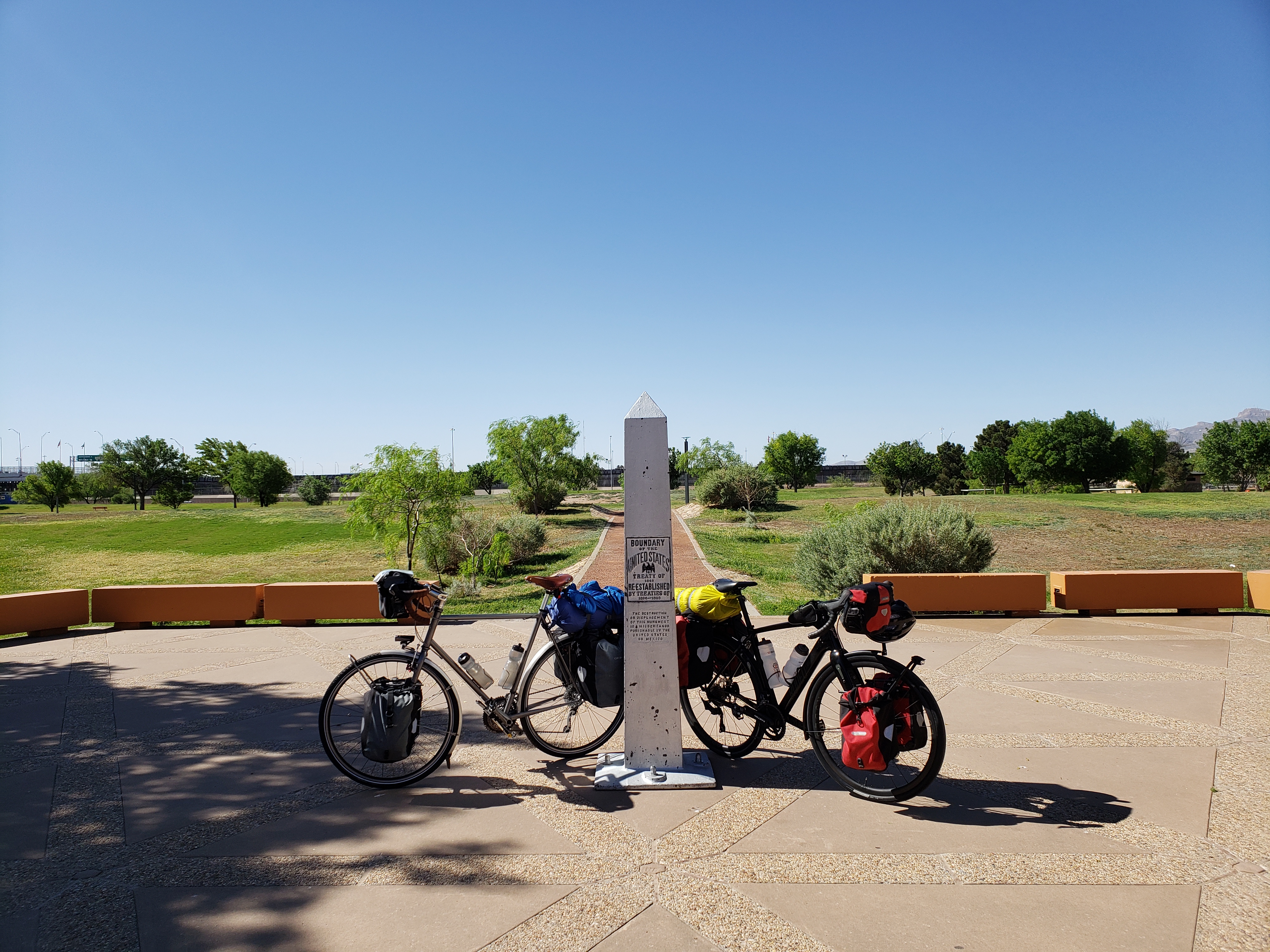
Last night, Donald and I looked over our plan for the trip and decided on the route for the first few days. We picked Chamizal National Memorial as the symbolic starting point of our trip – it’s a park right on the border of US and Mexico and where the US and Mexican presidents first met. And more importantly, there’s a sign saying it’s the border! We left the air-conditioned comfort of our Airbnb and wound through the streets of El Paso for our photo-op.

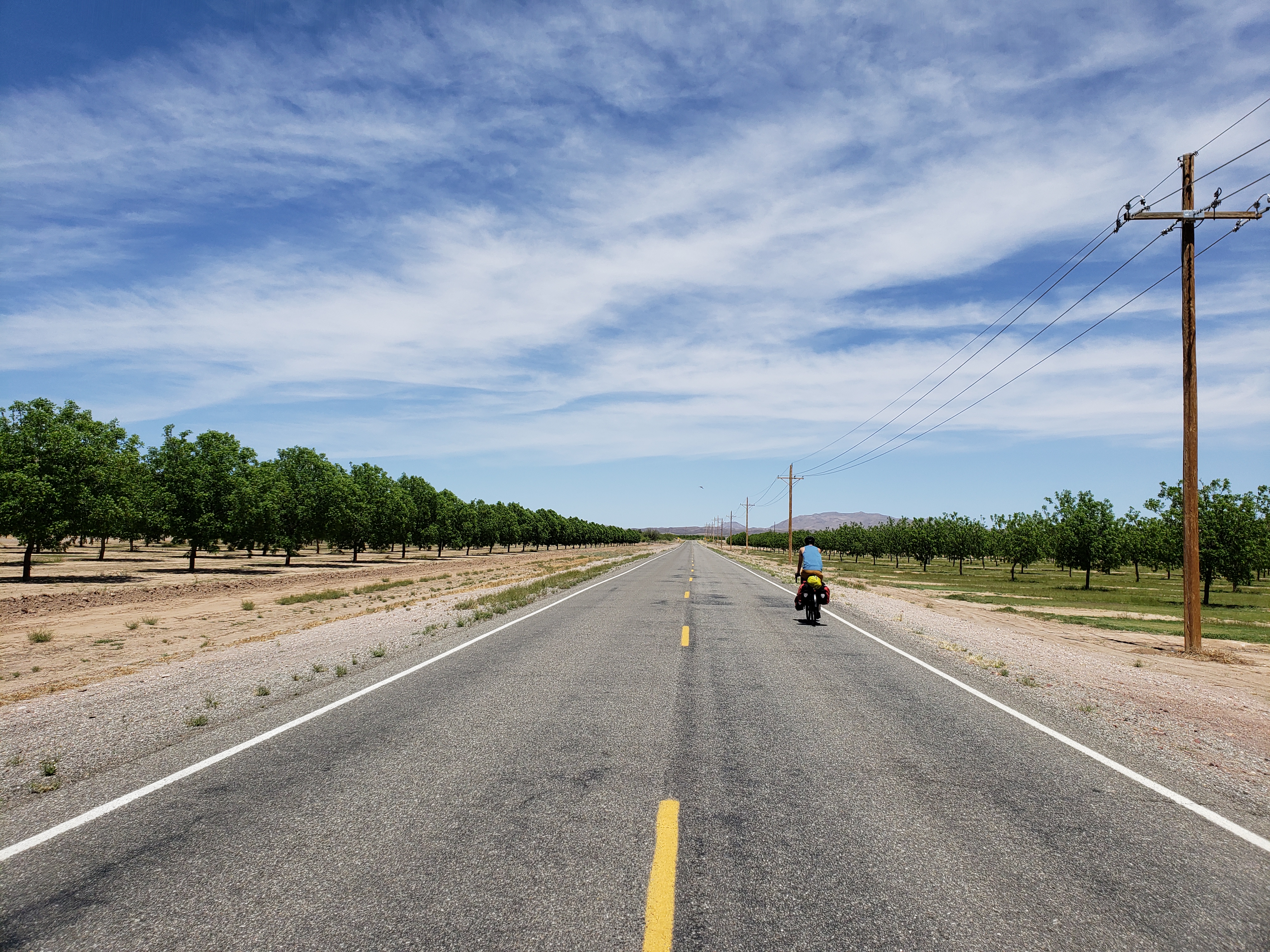
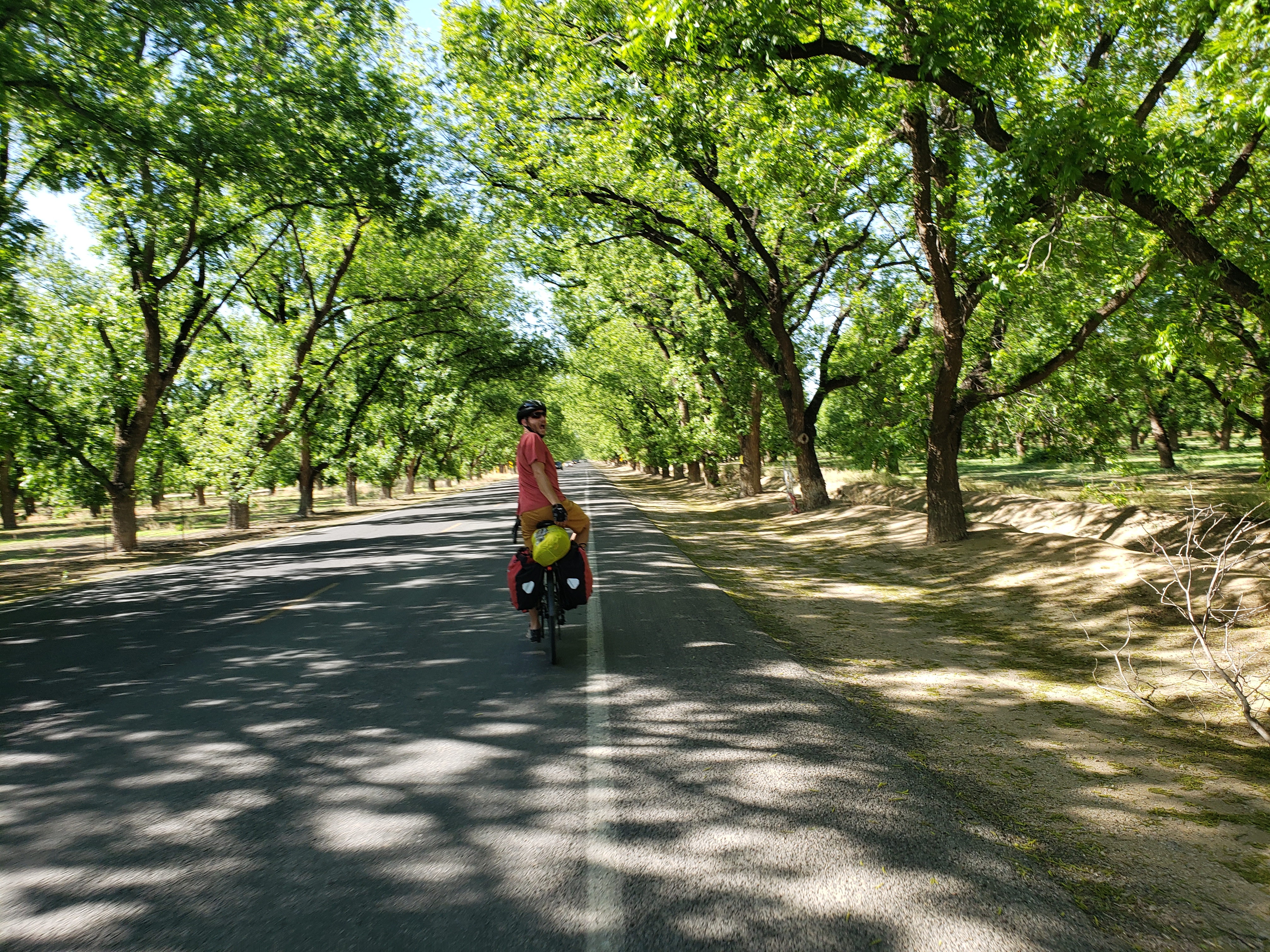
We stopped by a number of stores to pick up last minute supplies and finally make it across the Rio Grande and out of town around 2pm. We covered about 15 miles at this point – not much progress! It was a moderately windy day and we went back and forth between a headwind and crosswind as we found ourselves on rural roads. It was on these roads, surrounded by groves of pecan trees, that I was lent a sense of being back on the open road. The reminder that this isn’t just a vacation, it also calls for quite a bit of pain and stubbornness.

At least the heat isn’t too oppressive! We churned through the miles and as evening approached we made good progress towards our destination for the night – Leasburg Dam State Park in Radium Springs, NM. Remember that name, we’ll be going through another Radium Springs in 2400 miles!

On the road to our campground we spotted a touring cyclist headed towards us. His name is Jude and he’s averaging very high mileage days on his way East across the Southern Tier route. We chatted for a bit and went our separate ways towards the approaching night. Not two miles later I got a flat tire – looks like a pinch flat. I made quick work of it but the delay still makes it that we rolled into the campground in darkness.

Today’s ride showed me how this tour is different from the last two. Instead of leaving directly from home and spending 2-3 days on familiar roads, we’re in uncharted territory from day one. It’s nothing like our Seattle to Alaska trip when we headed into unfathomable stretches of wilderness – there are lots of little towns, suburbs, and gas stations for replenishment. We’re also very rusty. I haven’t trained on a bicycle enough and we both need to work on our packing efficiency. The drivers are courteous though and the uncourteous dogs are fenced in.

Notes from Donald: “I hope we get a tailwind tomorrow”

Today’s mileage: 74 miles
Total: 74 miles

Round 3: Mexico to Canada

We’re back! After too long of a hiatus, Donald and I will be heading north out of El Paso, TX at the end of April. Our destination this time is Jasper National Park in Alberta, Canada.

Photos of the Icefields Parkway inspired me to start touring almost a decade ago, so it’s only fitting that we make our way there in the only appropriate fashion – with good old pedal power.

Stay tuned for the daily blog posts starting soon!

Days 40 – 43: Glennallen, AK – Talkeetna, AK

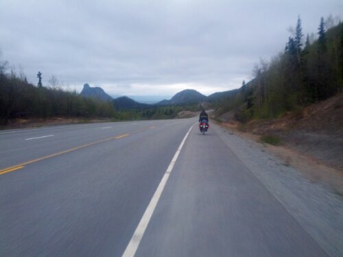
It’s another nice day leaving Glennallen. Ahead of us lies the last mountain range to cross and we need to gain two thousand feet of elevation. The first twenty miles are a very slight uphill and we make good time. But eventually the hills become rolling and each downhill is a disappointing loss of earned elevation.

We come across another pair of touring cyclists heading east. These two might be the most talkative yet and they pepper us with questions about the trip ahead – they’re heading to San Diego/ Tijuana. Apparently a truck carrying fruit had an accident thirty miles up and the fruit was strewn all over the road. Supposedly the fruit became up for grabs and so they had plenty of fruit to share with us.

We pushed on and soon came upon the long hill leading to the mountain pass. It was not a very steep hill and went rather easily, reaching the top at about 3400 feet elevation. The town of Eureka sits at the top of the pass and we stop in the lone cafe in town for dinner.

After a long break we continue only to find that the headwind we’ve had all day has only strengthened. The warm weather of the last few days has also departed and we soon don all our cold weather clothing that has gone unused for the last two weeks. The road is winding downhill now through a wide valley with steep sides. Wanting to make good mileage we press on into the night.

The road winds up and down the valley walls and we pass the crashed fruit truck around a sharp corner. A group of moose stares at us from afar before running away. We ride into the brief hours of darkness before pulling over for the night, sleeping only with sleeping bags on tarps to keep things quick.

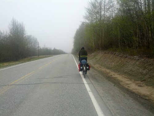
Morning comes and it’s still very cold. We pack up the few things needed and hit the road again. Descending into the valley we ride through fog and before long Donald gets a flat – his first of the trip. Further down the road and it starts to rain. We meet another touring cyclist, this one from England who tells us about a cafe ahead.

Guarding the cafe is a vicious turkey. It attacks Donald on our way in, and getting back to our bikes requires a well formed strategy to avoid its deadly peck.

The rain is much harder now but we’re only twenty five miles from Palmer, our destination for the day. Every once in a while a brief glimpse of a mountain comes into view, it probably would be very scenic if it weren’t for the heavy rain and cloud cover.

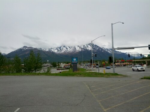
We arrive in Palmer and grab a motel. Due to the timing of my mountaineering expedition I have two days to make the eighty miles up to Talkeetna and we decide to take a rest day in Palmer to relax.

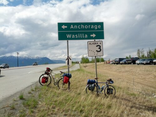
Before we know it Tuesday has arrived and we’re back on the road. This is where Donald and my paths diverge — we ride together for ten miles and get some parting photos before he rides off south to Anchorage.

I head west to Wasilla to pick up some groceries and last minute supplies for my mountaineering trip and hit the road. The first thirty or so miles out of Wasilla have a bike path paralleling the road and I am able to ride more comfortably. Unfortunately the recent snow melts have left some sections of the trail flooded and I have to ride through the water with caution.

The road turns north and I pick up a nice tailwind which lets me make quick work of the next twenty miles before the bike path abruptly ends. Back on the highway and it first begins to rain before the wind dies down. Before long there’s a long stretch of road construction. Cars have to wait a while before following a pilot car through the seven miles of construction. The flagger tells me I will need to get a ride from the pilot truck but I luckily get permission to ride on through. No cheating allowed.

The asphalt has been removed for this stretch and I have ride through dirt and gravel, stopping periodically for construction vehicles or traffic to pass. Between the mud and puddles I ride through and all the muddy water splashed on me by passing cars I get pretty dirty.

It’s at this point that the van carrying all of the members of my expedition passes me, stopping ahead a bit for the guides to come out and say hi. It’s twenty five miles now to Talkeetna so I kick it into high gear. My tailwind has subsided but I manage to average eighteen or nineteen miles an hour for the remaining time to Talkeetna. Covered in mud and tired, I check into my motel, take a shower, and join my group for dinner.

I’ve been in Talkeetna a day and a half now, getting everything ready for the mountain. The tentative plan is to fly onto the glacier tomorrow morning. You can follow my progress on the RMI website:
http://www.rmiguides.com/blog/category/12/mount_mckinley – look for entries from Jake Beren.

Upon my return I’ll have a final post with a full photo album but that won’t be until mid July. Until then!

Mileage:
Day 40: 94
Day 41: 46
Day 42: 0
Day 43: 88
Final total: 2423 miles
image
image
image
image
image