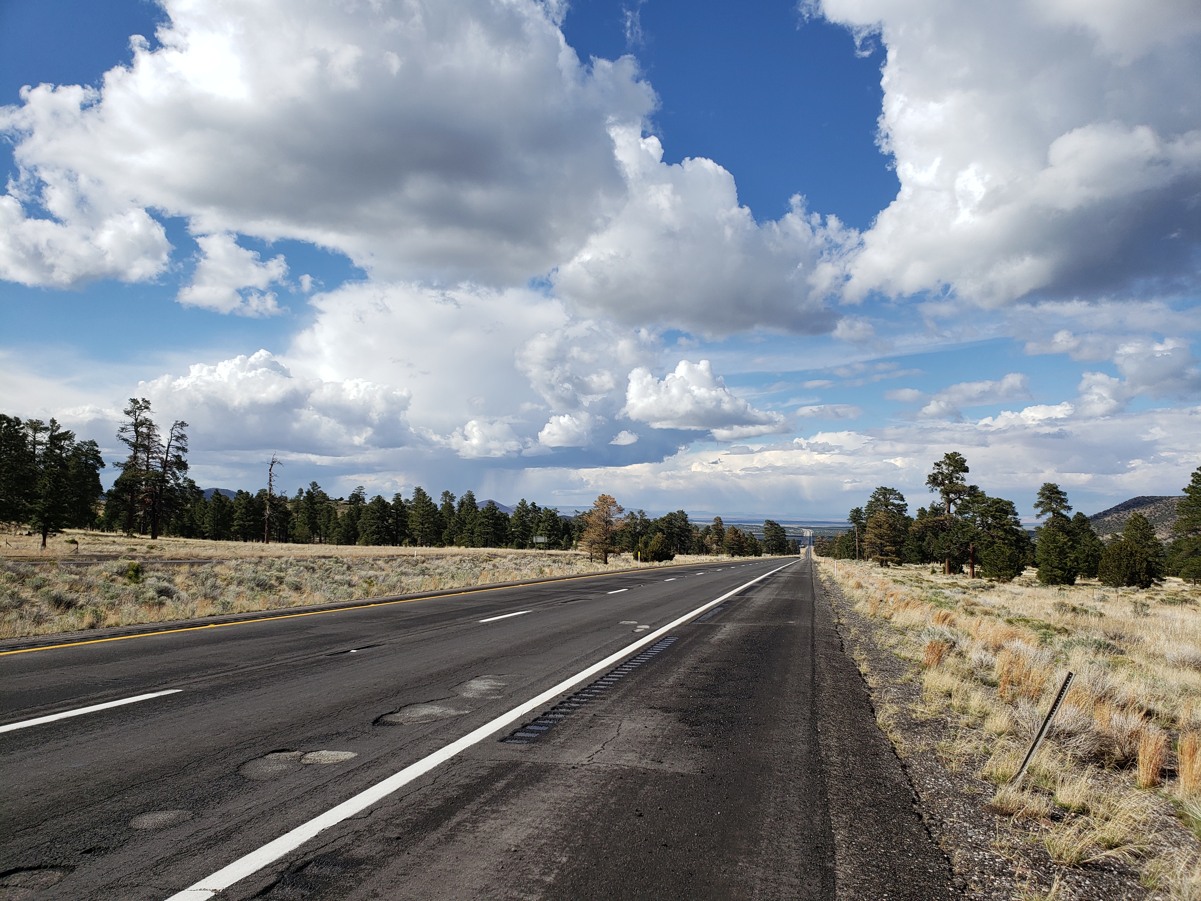
It was to be a simple day. 8 miles of interstate, 15 more miles uphill, then 40 glorious miles of downhill into Cameron. But things never go as planned.
A fierce storm rolled past our hotel in the morning so we waited it out and got on the road a little later than normal. The final miles on the interstate were just like the previous 70 miles: okay.
Besides what I mentioned yesterday, another downside of riding on the interstate is the lack of a visible anthropo-geologic history of the roadway. When riding on old rural roads, the whole history of the road reveals itself to you in the strata of surfaces on the shoulder. Often the shoulder was paved many decades ago at a wide roadway width, and successive pavings are narrower and narrower. “Oh, this must be from the great chipseal event of ’82.” All sorts of questions arise here. Was it the original intention to repave the whole shoulder? Perhaps the surveyed width was incorrect, or the budget was tight so they didn’t plan to repave the shoulder at all.
Bicycle touring makes one an armchair expert on road surfaces, and these thoughts can occupy your mind during the long days. Except on the interstate. The interstate is too efficient to reveal the history of its paving – the full width of the shoulder is always consistent. So I was happy to be off the interstate to resume my studies.
After a quick lunch we got back on the road and headed upwards towards a pass that would mark the turning point for the day. Before long a cold rain started pouring down and hail followed soon after. We stopped on the side of the road to wait out the storm and resumed our climb once it had passed. It was cold now and we had jackets on to keep warm as we reached the pass at 7200 feet.
Below us, the grand Northern Arizona landscape revealed itself. To the west was the high plateau holding the south rim of the Grand Canyon, with sharp cliffs dropping off its east side. To the east shorter cliffs and mesas lined the horizon, and our road led us straight between the two, seemingly endlessly into the desert.
The wind was strong and after an initial steep descent it became clear that, although we had 3300 feet of downhill ahead of us, we were caught in the midst of an age-old war. On one side was gravity, the omnipresent force pulling together everything in the universe. And on the other side was a sustained 20mph headwind. In this battle, the wind came out as the clear winner. What could have been an easy two hour descent wound up taking more than four hours as we pushed into the wind.
Pedaling downhill, we crossed into the Navajo Nation and finally arrived at the tiny town of Cameron in time for dinner.
Notes from Donald: “Today we were less successful in dodging the rain and got a bit wet and also pepper with some small hailstones. I was looking forward to the big downhill away from Flagstaff but the wind really screwed that one up. The wind let up when we got to the Navajo Nation and I became much happier!”
Today’s mileage: 64 miles
Total: 578 miles


May the wind always be at your back as you continue your amazing journey!! Which other lower 48 states does your route take you through enroute to Alaska? Thanks for the daily postings! -Delia
Nice job! I hope in future posts you explore the full depths of historical road construction initiatives, complete with budgetary speculations. Bonus points if you pontificate about the origins of the bitumen and other materials employed in their construction.