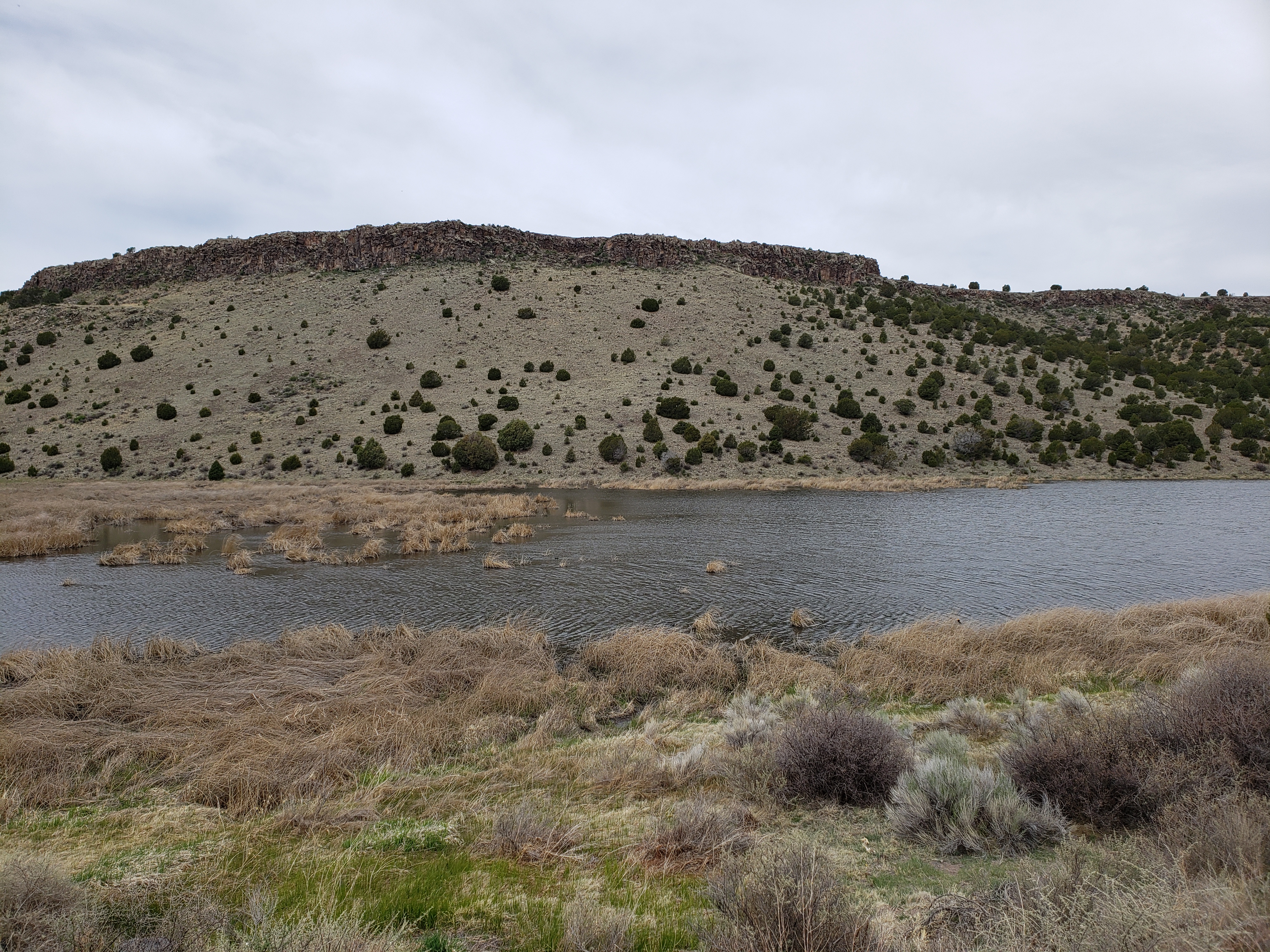
Leaving camp, we only had to climb for a couple minutes before reaching the mountain pass at 8550 feet and beginning our descent. Clouds had come in overnight and the sweat-inducing temperatures of yesterday had been replaced with cooler weather. We raced downhill, propelled by a mild tailwind, towards the town of Springerville.
We reached Springerville 20-some miles in and grabbed a late breakfast. There were two options for where to stay for the night – staying in the town of St. Johns would make this a short day – only 51 miles, or we could try and stay in Petrified Forest National Park. We dialed ahead to the park and they informed us that if we arrive by 6pm we would be able to get a wilderness permit to allow us to walk a mile from the road and pitch our tents.
So we headed onwards, delaying the decision of where to stay until we reached St. Johns. The 30 miles from Springerville to St. Johns went as quickly as the early morning miles and we rolled into town around 1pm. There are only two listed motels in town, one of them appeared to be closed and the other had complaints of bedbugs so we decided to make it to the national park for the night.
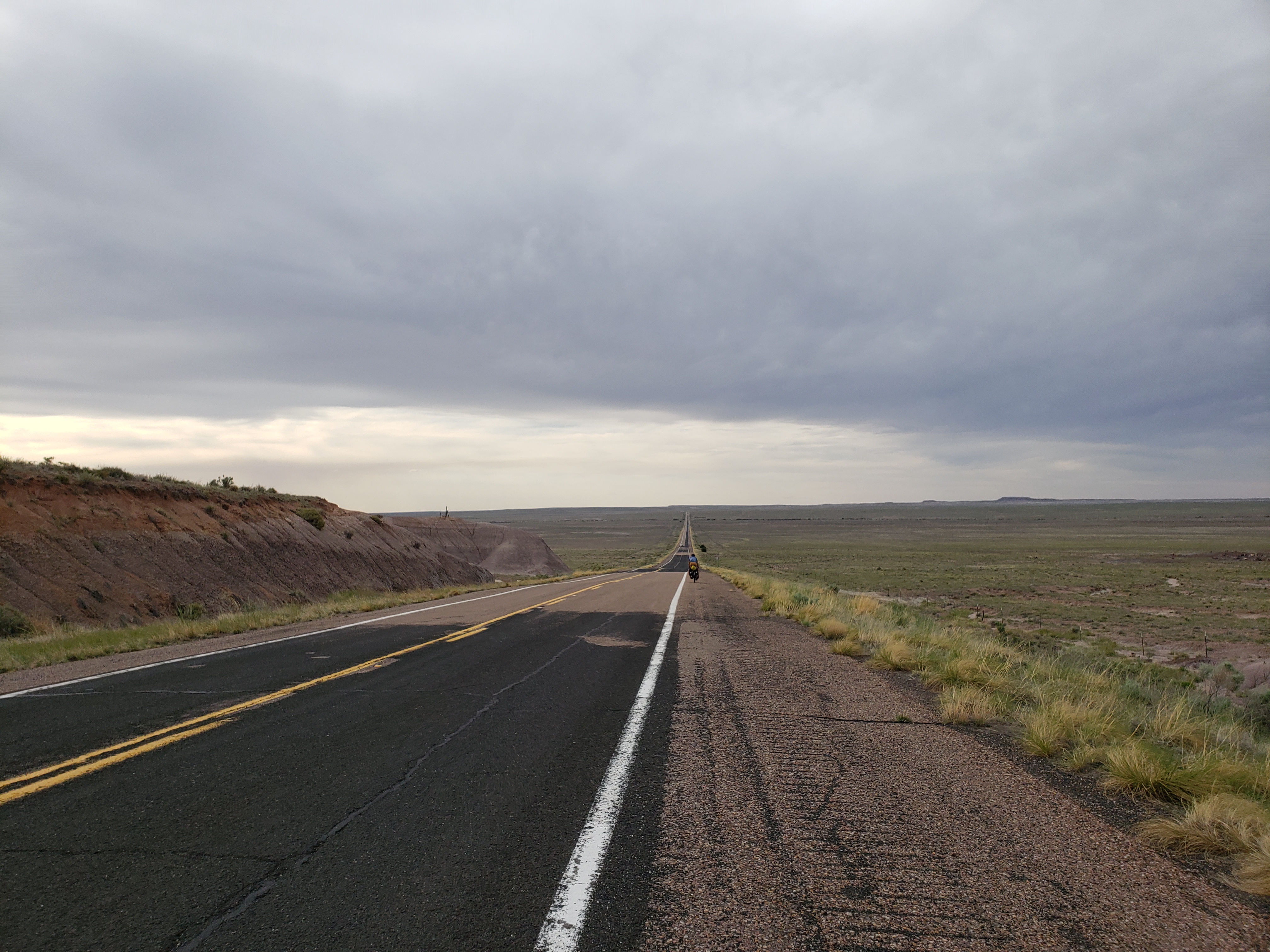
After a quick meal we pedaled onwards towards the national park. Our mild tailwind from the morning became a crosswind as we turned west and the passing cars somehow became even more infrequent. This 57 mile stretch between St. Johns and Holbrook is very remote – there are no towns and no services – it’s rare to see such long distances in the states.
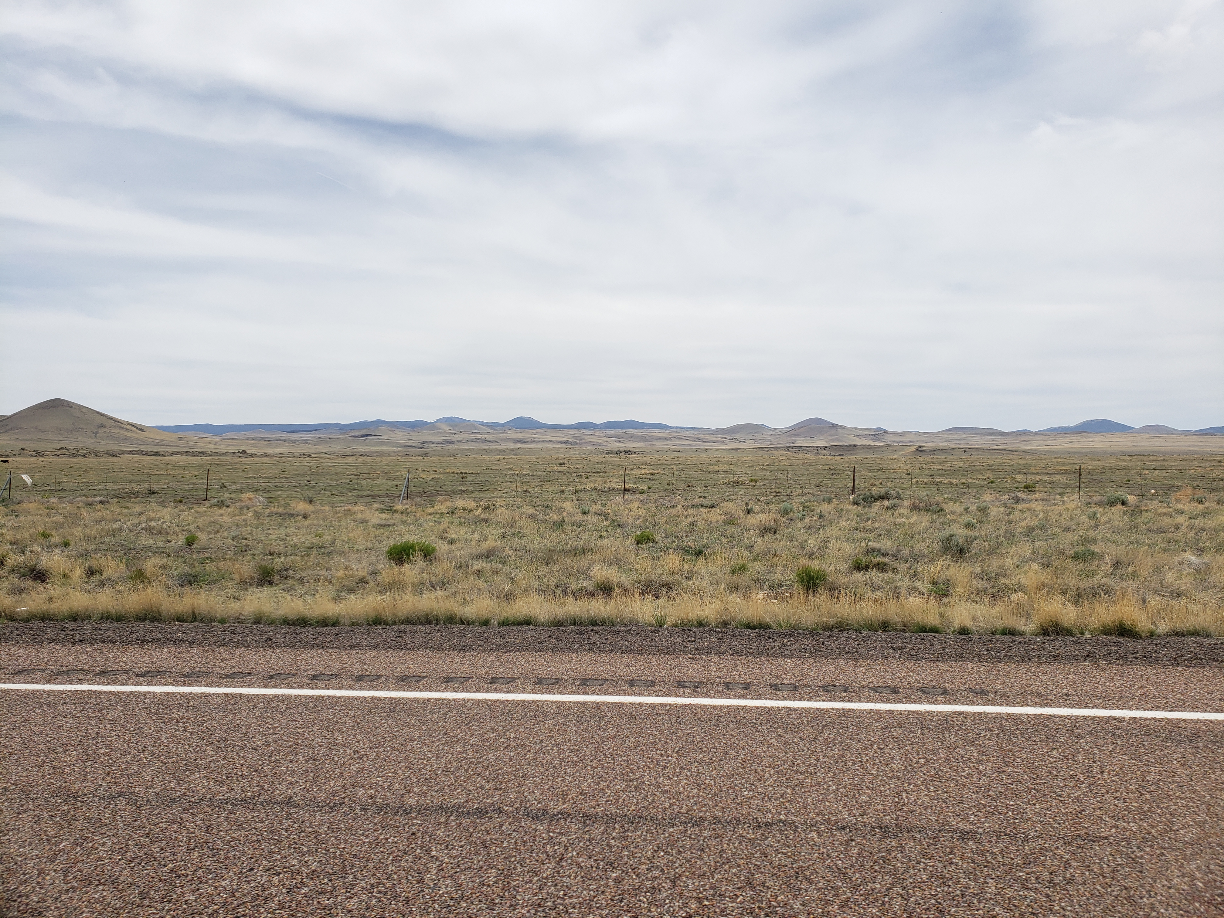
The pine forests of the morning were long gone – they had opened up to low shrubs as we descended through the mountains. Lower still, green grassy plains took over and the landscape turned into rolling hills. As the miles went on the distance between hills grew greater and greater as the terrain smoothed out, the grasses gradually receded, and we entered more desert-like country.
This desert-like country is where Petrified Forest National Park lies and we made it to the park entrance with 20 minutes to spare to pick up our permits.
In the visitor center we are told that we would have needed to arrive an hour earlier to get a wilderness permit – it seems our guidance over the phone earlier was wrong. The ranger tells us that instead of camping in the park we can camp in a parking lot advertising “free camping” right outside the park. It’s right by the highway but at least it’s free and convenient.
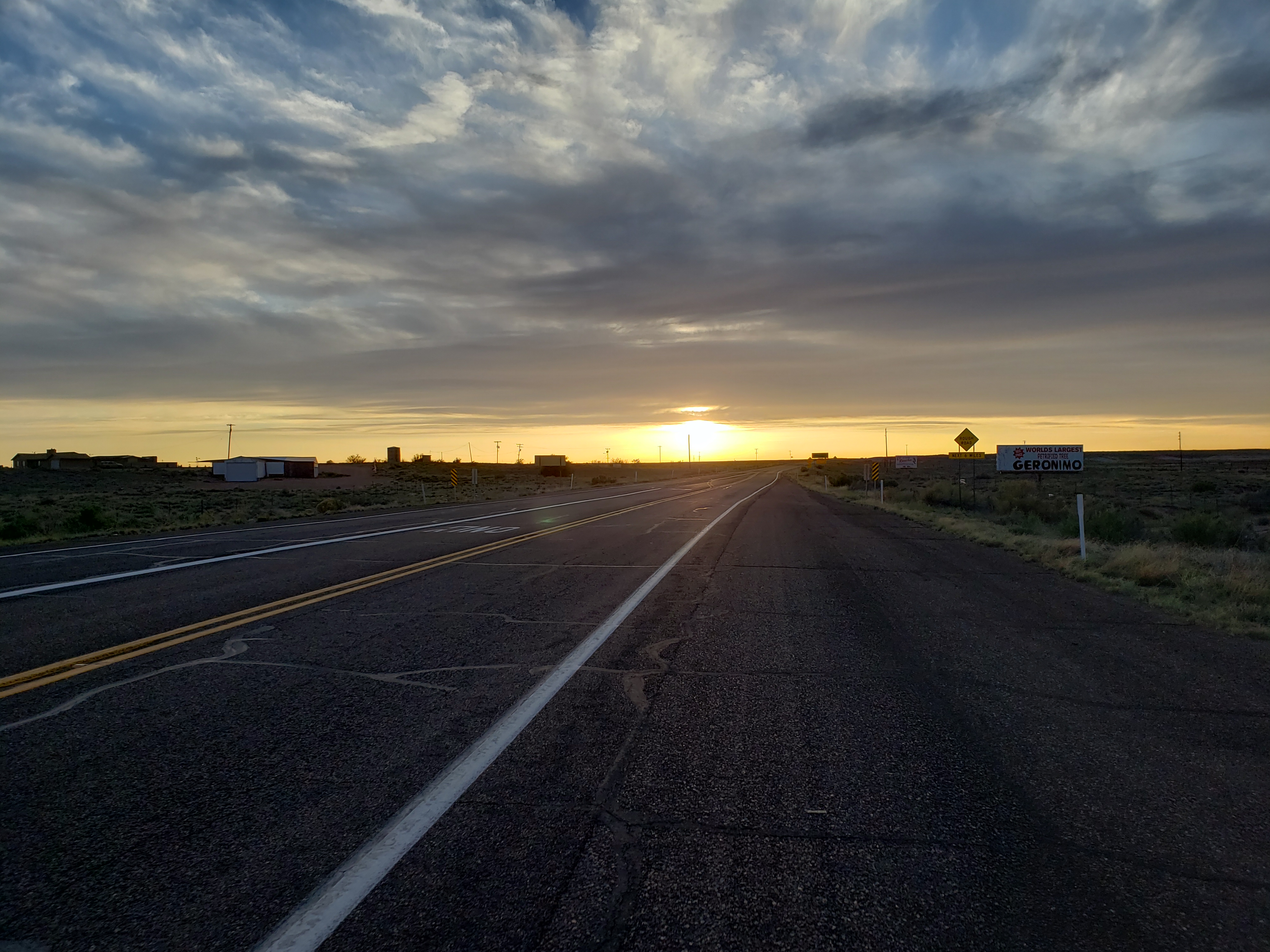
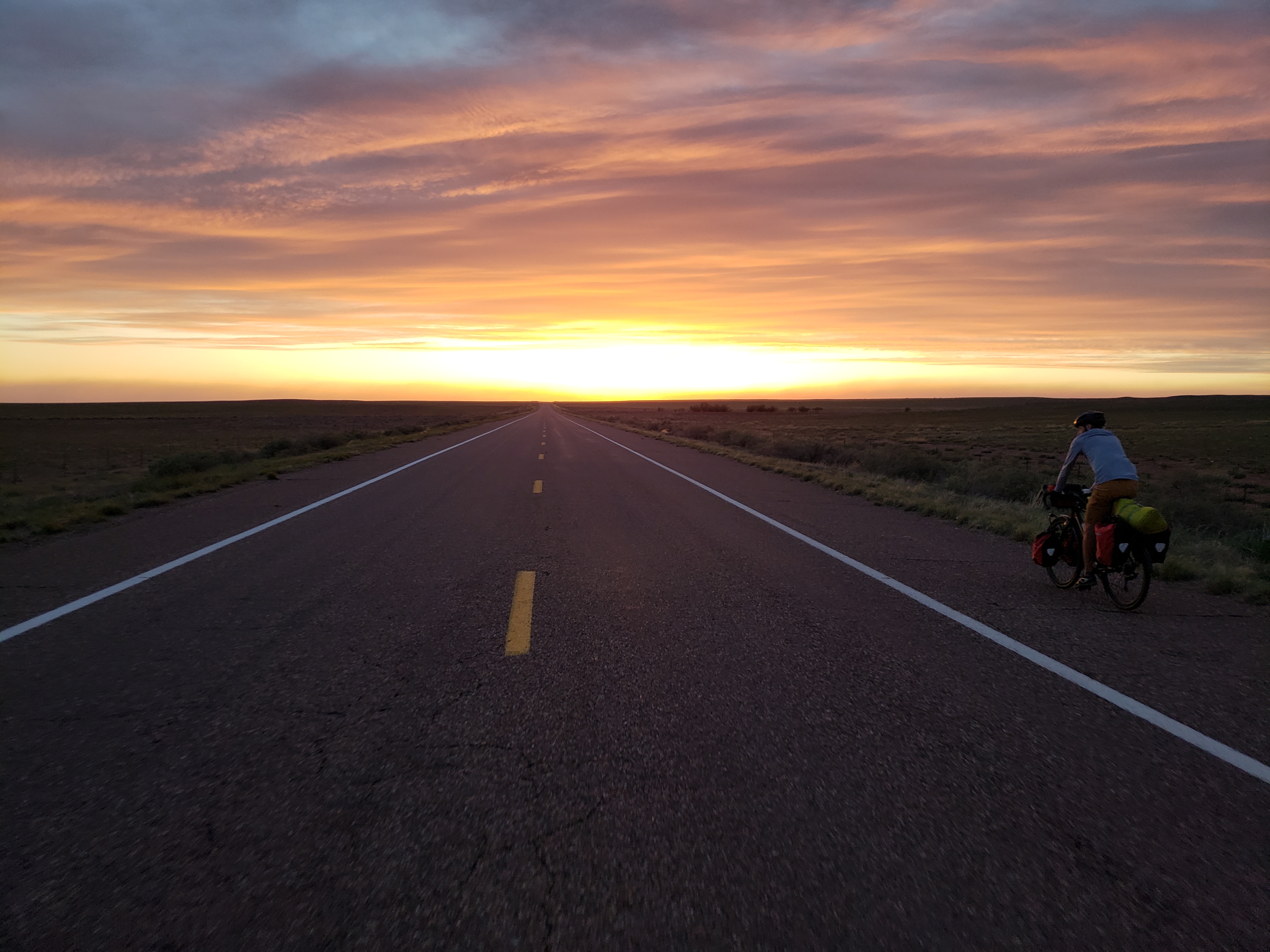
That is, it’s convenient until we found a sign that says “no tents.” We inquired within the store next door and were told that only RVs are allowed and we’d be “chased out” if we tried to camp there. So the only option remaining is to cover 19 more miles to the town of Holbrook. We refueled a bit and hit the road, riding into the sunset.
Darkness fell and we still had 10 miles until town. Luckily the shoulder is very wide and not too bumpy so the few cars that did pass were able to do so at a safe distance. The final miles into town were not too hilly and, after running into a few motels that were sold out for the night, finally found a place to stay.
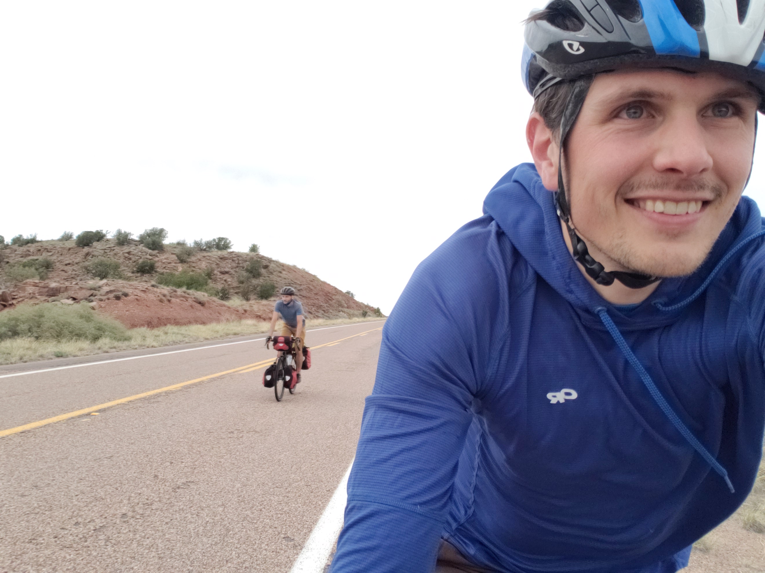
Notes from Donald: “Since we started at such high elevation in Alpine we had thoughts of lots of easy downhill miles which helped us get our first century together! I was really eager to camp at Petrified Forest National Park but events conspired to not allow that.”
Today’s mileage: 117 miles
Total: 443 miles
It’s a long day, but great job team! It’s the unexpected events that make memory. Have fun!
Wow! I am just now catching up and would be surprised if you have days this long as you continue your trip. And it is a “trip” to be reading and viewing photos of your excursion with The Donald. BRAVO GALEN!!!! Thanks for sharing your adventures in this way.
Steve and I send our love. -Delia
Good to hear from you, Delia!