Pinned up on the wall of our motel’s lobby was a printout of the top ten best roads in the world. Highway 12 in Utah was listed as number 2 on the list, as enthusiastic highlighting made sure we knew. We had been on highway 12 for the last 60 miles and it certainly was a nice road but I wasn’t sure why it was given such high accolades.
The road out of Escalante took us through rolling desert hills with cliffs lining the view to the south. Every few miles a pullout with an interpretive sign would talk about the history or geology of the region, pointing out ancient granaries of the Native Americans, or recalling tales of early Western settlers. After a long climb the road turned and revealed a dramatically different view – below us lay a landscape dominated by smooth bare rock surfaces while twisting cliffs and canyons holding the Escalante River and its tributaries carved through the scene.
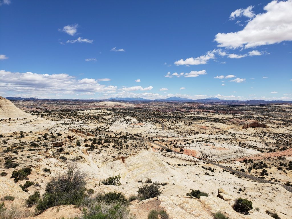
Not to be satisfied with just looking at the view from above, the road dove down into the midst of it. First, along the smooth rock hills and then down and down to the canyon floor. Down here the scene was completely different – the tall red walls towered above and vibrant trees lined the insides of the canyon along Calf Creek. The sterile silence of the landscape above was replaced with a chorus of birds inhabiting this small, lush world.
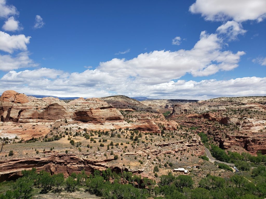
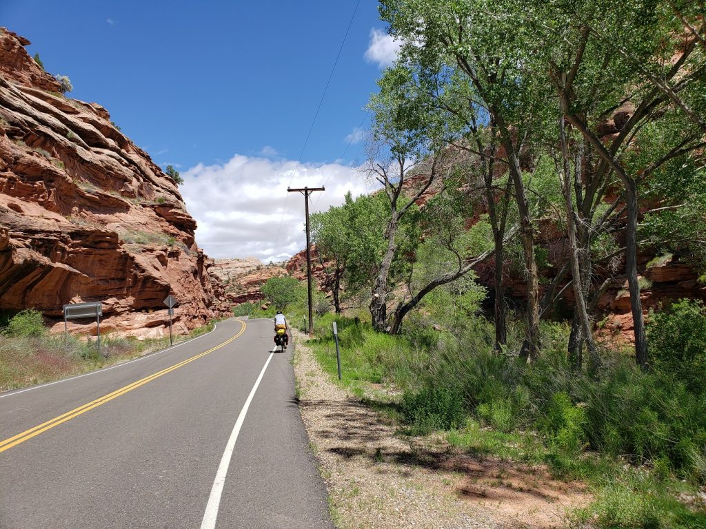
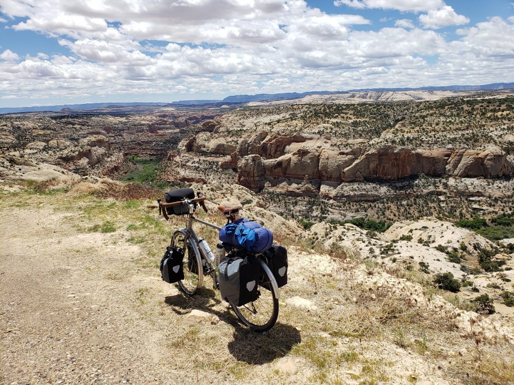
The obvious limitation of building a road through such a canyon is that it’s nearly impossible to grade it well. Flat sections were punctuated by extremely steep hills as we crawled up the canyon walls and I was once again reduced to my lowest gear. Eventually the road ascended above the canyon and onto a ridgeline heading towards the town of Boulder, UT. There was a pullout where motorists could get a photo of the canyon, but a small stretch of gravel accessible only to bicycles had a much nicer view and I fiddled here with getting my bike to stand upright against a small rock for a photo.
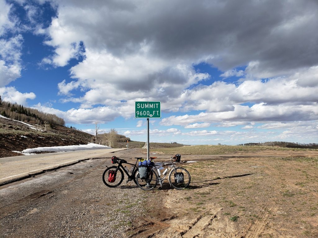
It was past lunchtime and the road finished its tour through the rocky wonderland and opened up into a green valley and the town of Boulder. We had covered a little under 30 miles and a little under 3000 feet of elevation gain but the day was just getting started. Between us and our destination for the evening lay a massive mountain pass at 9600 feet, with 4000 feet of elevation gain remaining to cover in the afternoon. We had our work cut out for us.
We stopped for a surprisingly good meal at the Burr Trail Grill and got back to climbing. The ascent starts right out of town as the road heads straight north into Dixie National Forest. Before long we ran into a pair of touring cyclists that we had talked to briefly in Bryce a couple days ago. They’re Polish and had started in Denver a month ago, meandered around the west visiting parks, and were on their way to Salt Lake City to finish their tour and move on to the next stage of their trip. They were very heavily loaded – making our panniers look tiny in comparison – but were in good spirits. We bid them farewell and headed upwards.
Once again the scenery changed as dense pine forests enveloped the road, only to be replaced with large swaths of aspen, just beginning to show the slightest of green, a sign of the approaching summer. The road wound higher and higher and we finally reached the unnamed pass at 9600 feet and stopped for photos. Depending on which route we chose from now on, this might be the highest elevation we reach on this tour.
The road on the north side of the pass is not graded very smoothly and steep descents of up to 10% grade are interrupted by equally steep but brief ascents. On my tour 9 years ago I was only able to go faster than forty miles per hour once – on an otherwise unremarkable hill in Ohio. Thanks to headwinds, not even on the multitude of 9,000, 10,000, or 11,000 foot passes was I able to achieve forty miles per hour. But on this descent today I got above forty miles per hour at least half a dozen distinct times, topping out at 44.7.
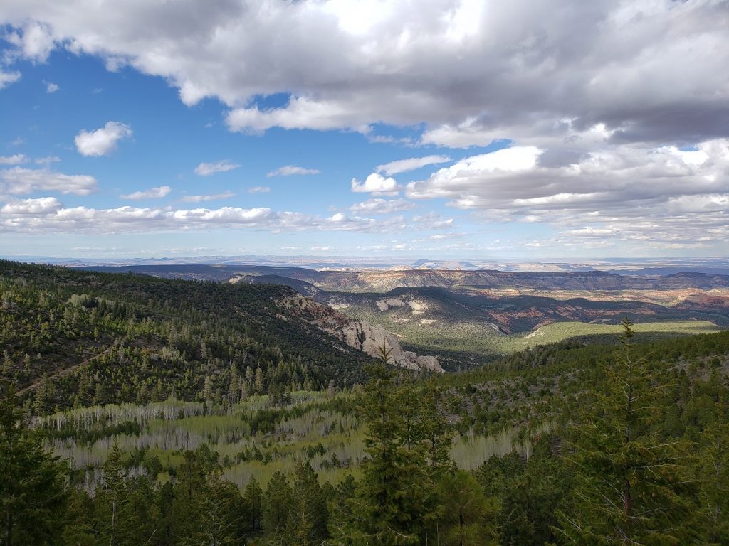
The scenery to the north of the pass was equally impressive as that to the south, with red cliffs and mountains as far as the eye can see. After a long descent we arrived at the town of Torrey, – at the edge of Capitol Reef National Park – and found a place to stay.
Notes from Donald: “I’m tired of climbing. But the Calf Creek Canyon was really cool to pass through. I’m glad it didn’t snow today.”
Today’s mileage: 70 miles, 6872 feet of elevation gain
Total: 967 miles
Absolutely amazing part of the journey. So proud of you both.
Love the pale green of the aspens ! Greenup has arrived!