Got a late start today. I was out of my campground at 11, but had to eat lunch, plan my route, and grab some groceries before finally making my way out of town after noon.
I guess I haven’t talked about much of my routine yet. So I have a medium term destination in mind at all times. Right now it’s Louisville, then Denver, etc. So I know the general direction in which I want to travel. I’ll bring up my map on my phone and search for “camping” in an area that looks to be about a day’s ride from where I am, check out websites and travel distances (add 15% or so for bike travel) and make reservations if I deem it necessary.
Today was a weekend so when I decided on Versailles State Park, I called them and made a reservation. On weekdays I don’t bother. I then pulled up maps.google.com on my phone so I can view the terrain and possible bike paths ahead of me (actually this is done in parallel with finding campgrounds as my destination would change depending on areas I’d want to avoid of paths I want to go on). So today I saw that to my direct west there were lots of hills and so I plotted out a route that would take me to the north a bit (out of my way) to avoid the worst of the hills.
I then wrote down what turns to take on a piece of paper that I keep in my map holder on top of my handlebar bag. Since I choose roads manually it’s a hassle to figure out distances between turns so I write down landmarks or other directions instead.
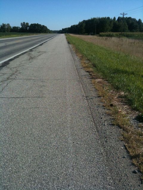
Directions on hand, I started westward out of the suburbs of Cincinnati and towards Indiana. Once in indiana, a road I had chosen turned out to be pretty bad for biking because it had a 4-6 inch shoulder and 55mph speed limit. So I pulled over and looked for when I could next turn off and still go the direction I wanted to, and went on my way. It was about then that I had a 500 foot climb. I was pretty happy that I was able to do it without stopping.
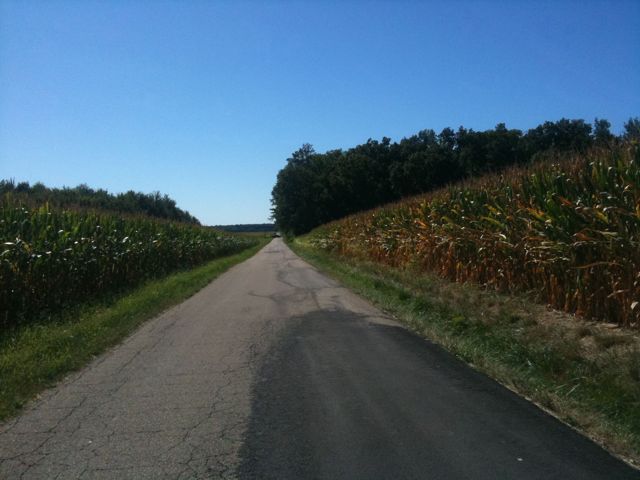
Turning onto rural roads requires re-checking your map a lot. Roads never last more than a few miles and aren’t marked the same as on the map. Lots of turns but very little traffic. Some days (like today) there are lots of dogs on these roads. Had a few close encounters – today was definitely the worst dog day so far. A couple times I encountered state highways with 10 foot wide shoulders and few trucks so I took those when I saw them.
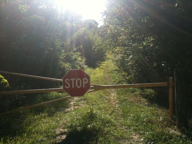
I arrived at the state park from the north and found the road was closed. Not to be dissuaded, I just walked around the barrier and down the closed road for a mile until it joined the state park. Several hills later and I was at my campsite. This one is less of a glorified parking lot than yesterday but there still are lots of RVs.
I took a shower and headed into the town next to the park for dinner. When I had called to make reservations this morning the man on the phone called it VerSALLes so I figured I had misread the name. Nope, just turns that’s how it’s pronounced here.
I rode around the town looking for somewhere to eat other than mcdonalds and came across a place, the Yellow Dog Tavern. I’ve been eating a lot of burgers this trip and even those that are supposedly “good” are just hamburgers, and most of the other food I’ve eaten has been similarly uninspired so I was happy when I found some thought had been put into the one I ordered – it was great. I had a nice chat with the owner and the patrons and gave them my website (hi!).
The ride back to my campsite was cold, hilly, and completely dark but I didn’t mind because I had a great evening.
Today’s mileage: 71 miles
Total: 1015 miles
Hit the 1k mark!


hey galen! hope you have a very safe trip. I just met you at the yellow dog @ Versailles, IN (french pronunciation ha) Keep in touch. So admiring what you’re doing. You are such an amazing person…. Learn, Grow and keep going!!! Liliana.
Finally I found the place to post my comment! LOL
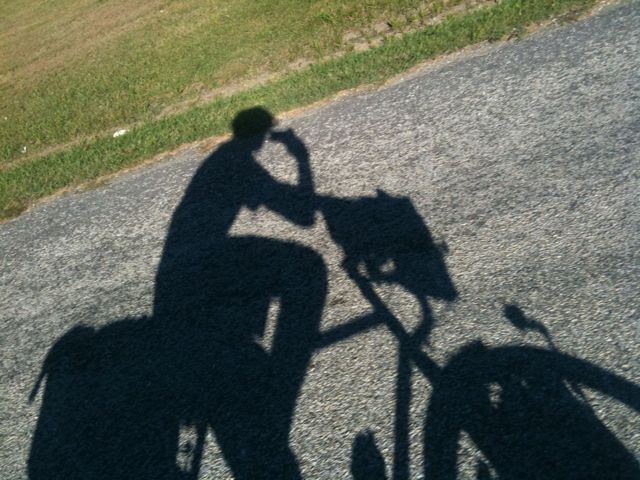
I love the self photography 🙂