I was up at seven this morning and packed up camp while talking to the other people at my site. Because of all of my bike problems, I had been arranging with my parents to have some extra tubes and a pump shipped to a town 90 miles ahead since I was over 200 miles from the nearest bike shop. And since I had no cell coverage I was making liberal use of the park’s pay phone. That took me back.
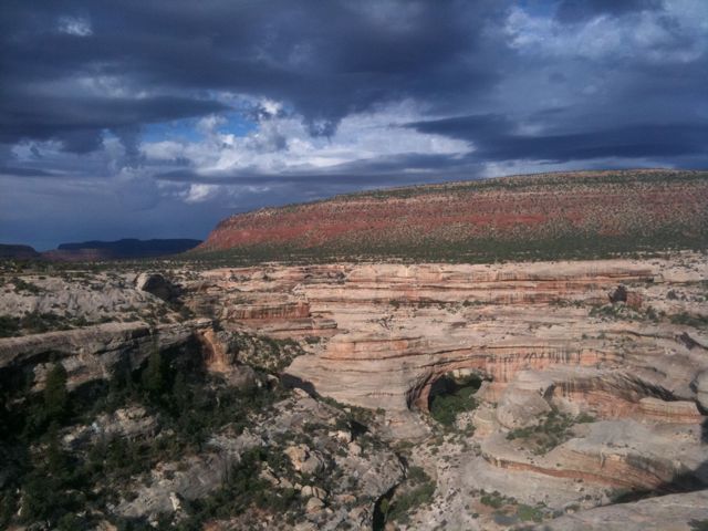
But before my long day I decided to see the sights at the park. It was a seven mile hilly road around the park that took me by the three natural bridges. They were pretty neat but the whole situation was a bit too touristy for me, and personally I found the canyons just as interesting as the bridges themselves.
Leaving the park, I had to backtrack another seven miles to turn south and head towards my destination for the day. I was now leaving the ACA route.
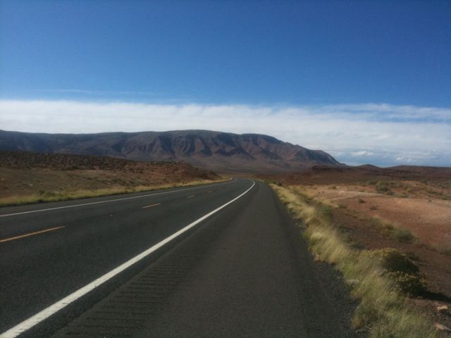
The road had more rolling hills but nothing I couldn’t handle. The worst ones are when you think it’s a short hill but it winds up being a fake summit and the hill keeps on going. If I approach these hills with the attitude that they’ll be over quickly, I wind up exerting too much energy and wearing myself out. No matter, at this point I take it all in stride.
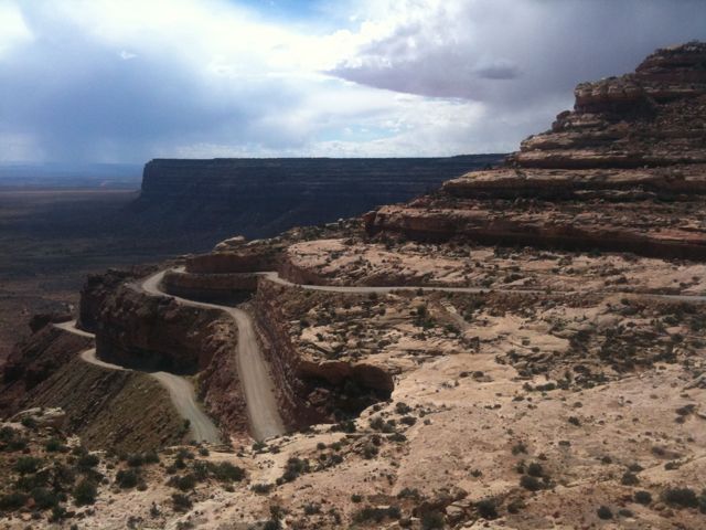
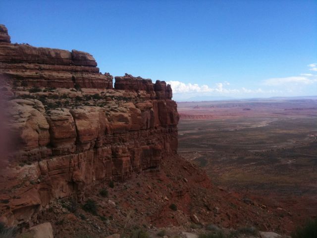
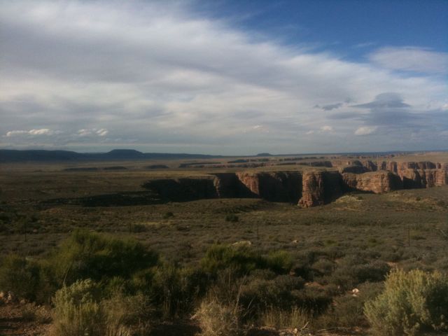
After 20 or so miles, I came upon the edge of the mesa. A thousand feet below was the valley floor, and dozens of signs warned of the upcoming dangerous road. The speed limit dropped from 55mph to 5 mph and the road turned to gravel as it wound through tight switchbacks down the cliff wall. Luckily the gravel wasn’t very deep so I didn’t have much trouble with balance.
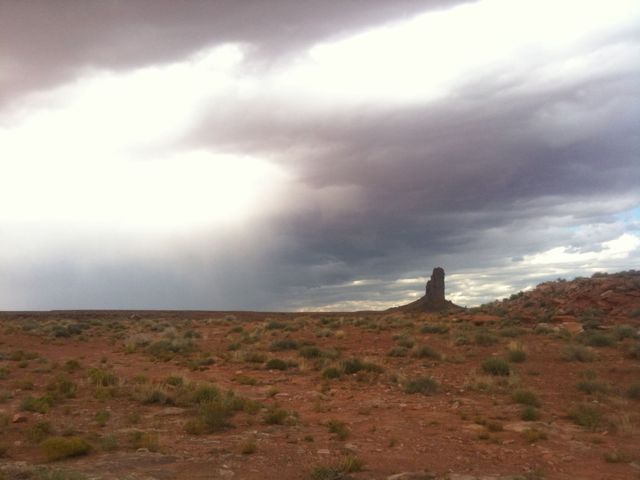
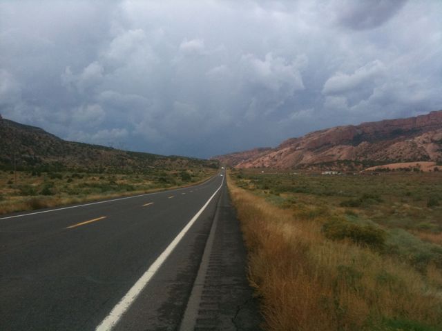
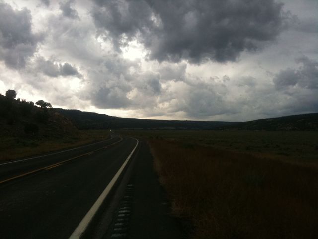
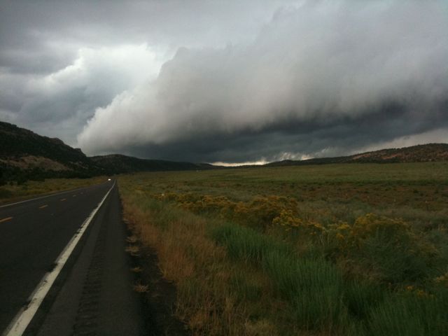
On the valley floor, walls of cliffs towered to my north and east while impressive buttes peppered the landscape to the south and west. Storm clouds glided across the sky, reaching down with tendrils of rain. It was very flat now and I began making good time.
I reached the town of Mexican Hat, UT for lunch and ate at the sole restaurant in town, a slightly glorified fast food joint. Filled up my water bottles since it had been 80 miles since I last saw a town, then got on the road again.
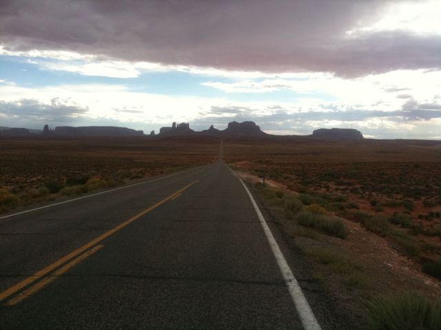
After crossing the San Juan river, I made my way up some rather steep hills before it turned flat once more. I was hit with intermittent periods of rain but they didn’t really last long enough to warrant putting on my rain jacket. The road curved from the west to the south and I entered monument valley. This is probably where car commercials are filmed – long straight roads with magnificent buttes on the horizon.
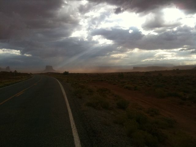
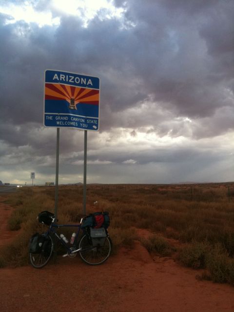
The road took me straight between two buttes after a long climb. Once I passed through them, the wind picked up and dust filled the air. Strong crosswinds with massive gusts blew me back and forth as I squinted to keep sand from my eyes. After a few miles of this the wind died down and I entered Arizona.
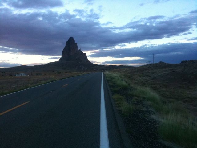
More flat and straight roads. A big storm cloud lay directly in front of me, but my road curved and it missed me somehow. The miles kept ticking by, some slowly and some quickly, and I reached the town of Kayenta just as darkness fell.
Today’s mileage: 95 miles.
Total: 3002 miles.
That’s the three thousand mark!
