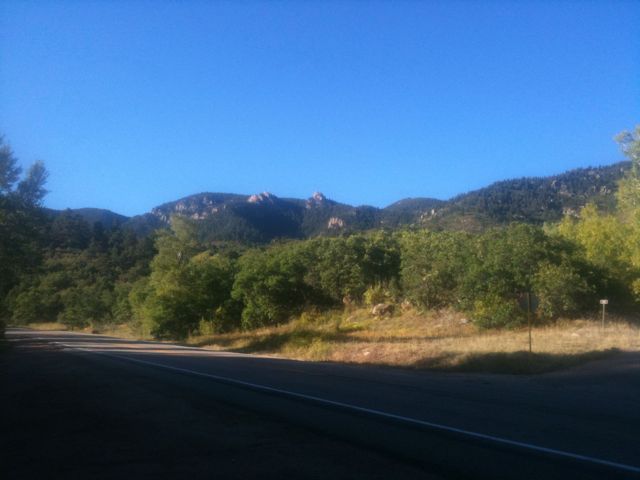
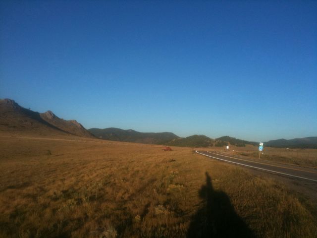
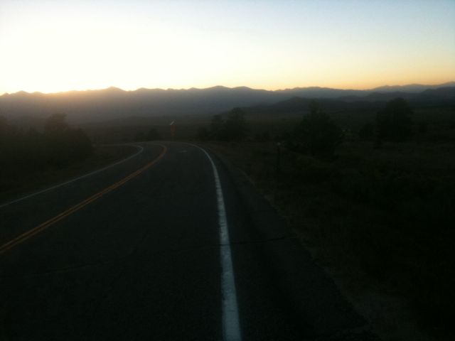
After a night of fitful sleep, I packed up, grabbed lunch, and got on the road at 11:30 or so. I found my way to the start of the Adventure Cycling Association’s “Western Express” route and headed west.
The road started out with a nice shoulder, but it dwindled away over the course of 10 miles. My progress was pretty slow, even on the flat sections, which I attribute to my late night drinking and lack of sleep. My planned second lunch fell through when the only place to eat in the town of Wetmore didn’t open until dinnertime, so I ate a clif bar and moved on.
There were a few big hills in the first 30 miles, but nothing that would prepare me for what was ahead. I had looked at my map but the true magnitude of the day didn’t hit me until it was upon me: a four thousand foot elevation gain, most of which was crammed into a never-ending hill that took me above 9000 feet.
I started out climbing at maybe 7 mph, and had about 14 miles until the top, with roughly 3000 feet altitude to gain. My progress quickly slowed to more like 5mph as I slowly and arduously biked up the mountain. It was very tough and I found myself stopping maybe once every 2 miles. About halfway up I pulled over and sat down and rested for nearly an hour, probably getting some sleep.
I continued on after my rest but my pace didn’t quicken nor did it get any easier. Sweat was pouring down my face and massive salt lines developed. My helmet’s straps turned pure white from all the salt.
I got a terrible cramp in my left calf after a couple more miles and I pulled over, stretched, changed the album I was listening to, and rested for a few minutes. After this break, my speed hastened to 7.5-8mph which I was able to sustain for the last 5 or 6 miles.
As I reached the top I lost my focus and my speed plummeted and legs grew tired for the last minute, but I eventually got to the pass at about 9200 feet. I was slightly disappointed by the lack of an elevation sign. Looking over my map, this appears to be the second longest climb of my trip, with only the Monarch Pass being slightly longer and steeper. But nothing could keep me from being ecstatic that I had finished the climb.
I wound my way down the other side which was much less steep than what I had ridden up and got to the town of Westcliffe, CO, ate dinner, and found a motel.
Today’s mileage: 58 miles.
Total: 2482 miles.


Monarch pass is 11312 ft, you will definitely feel the elevation. if you don’t, I despise you, because it kicks my ass every time I’m there. 🙂
Have a good ride, be safe.
I don’t know where your route is headed next, but you are going to pass not far from the place where we backpacked in Colorado – outside Ouray (where we visited a rock store). Not too far from the Durango-Silverton railroad route-also part of that trip. Drink lots of fluids – elevation and exertion is a tough combination.
With your mom on that one. For me alcohol intake has always definitely promoted chance of muscle cramps from need for more fluids — and my physical tasks have never approached the level of difficulty you are taking on. Good Luck!!
Hi Galen,
I climbed Mt. Tam from the Mill Valley floor one time and that is 2400 ft. Wow! Your mom and I had lunch on Clouds Rest in Yosemite that they tell me is 9000 ft. The stove would not light because of the O2 problem.